North Wirral Coastal Park
![]()
![]() Enjoy a cycle or walk around this super coastal country park in the Wirral. The park covers 400 acres making it the largest park in the Wirral. There is a super waterside cycling and walking path running along the lovely Wirral Peninsula - you could even continue along it to Wallasey and beyond if you have time.
Enjoy a cycle or walk around this super coastal country park in the Wirral. The park covers 400 acres making it the largest park in the Wirral. There is a super waterside cycling and walking path running along the lovely Wirral Peninsula - you could even continue along it to Wallasey and beyond if you have time.
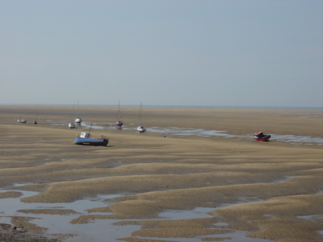
The park is excellent for birdwatching as the area attracts huge numbers of wading birds, including Oystercatcher, Common Redshank, Dunlin, Sanderling, Ruddy Turnstone, Northern Lapwing, Bar-tailed Godwit and Curlew. The route below also continues to the nearby Ditton Lane Nature Reserve - another great spot for birdwatching.
The park is located very near to Leasowe rail station.
Postcode
CH45 8NA - Please note: Postcode may be approximate for some rural locationsNorth Wirral Coastal Park Ordnance Survey Map  - view and print off detailed OS map
North Wirral Coastal Park Open Street Map  - view and print off detailed map
North Wirral Coastal Park OS Map  - Mobile GPS OS Map with Location tracking
North Wirral Coastal Park Open Street Map  - Mobile GPS Map with Location tracking
Further Information and Other Local Ideas
To continue your walking in the area head a short distance south east to explore Birkenhead Park. To the west there's the lovely Hilbre Island to visit.
Just to the east there's the popular town of New Brighton where you'll find a lovely beach, a 19th century fort, a large marine lake and the longest promenade in Britain.
For more walking ideas in the area see the Wirral Walks and the Merseyside Walks pages.
Cycle Routes and Walking Routes Nearby
Photos
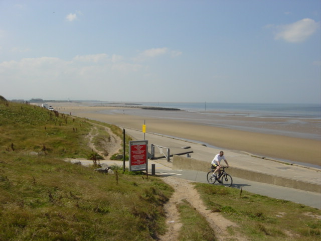
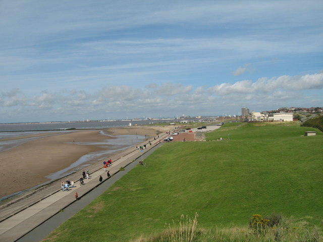
North Wirral Coastal Park. Beach and cycleway from the dunes, a lovely spot to walk or cycle, extensive views along the coast and looking behind across to Crosby and Formby on the Liverpool side of the Mersey.
Beach and North Wirral Coastal Park. Extensive good quality sand, promenade and coastal slack with somewhat overgrown footpaths at this point between Moreton and Meols.
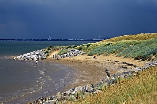
Mockbeggar Wharf. Looking along the coastline at Mockbeggar Wharf, the Wallasey Golf Links to the left and the hills of North Wales in the distance. The last stragglers are walking home along the North Wirral Coastal Park after a lovely day watching the Tall Ships leave the River Mersey.


