Bidston Hill
![]()
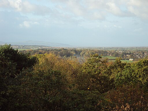
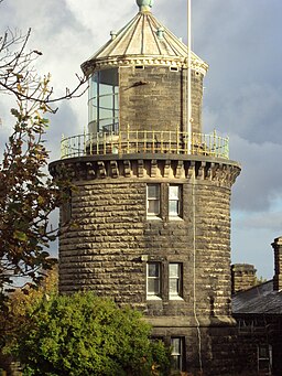
![]() This walk in Birkenhead explores 100 of acres heathland and woodland with historic buildings and ancient rock carvings. The park includes the 16th century windmill, the grade II listed Bidston Observatory and Bidston Lighthouse. The hill rises to 231 feet so there are fantastic views of the Wirral from the summit.
This walk in Birkenhead explores 100 of acres heathland and woodland with historic buildings and ancient rock carvings. The park includes the 16th century windmill, the grade II listed Bidston Observatory and Bidston Lighthouse. The hill rises to 231 feet so there are fantastic views of the Wirral from the summit.
The hill is located a short distance west from Birkenhead Park.
The park is a great place to continue your exercise if you have time. In it you will find lakes, woodland and pretty gardens to visit on a series of surfaced footpaths. There's also a number of Grade I listed buildings to see.
Please click here for more information
Bidston Hill Ordnance Survey Map  - view and print off detailed OS map
Bidston Hill Open Street Map  - view and print off detailed map
Bidston Hill OS Map  - Mobile GPS OS Map with Location tracking
Bidston Hill Open Street Map  - Mobile GPS Map with Location tracking
Further Information and Other Local Ideas
Located nearby on the north eastern tip of the peninsula there's the popular town of New Brighton where you'll find a lovely beach, a 19th century fort, a large marine lake and the longest promenade in Britain. The wildlife rich North Wirral Coastal Park is also located in this area.


