Pennington Flash Country Park
![]()
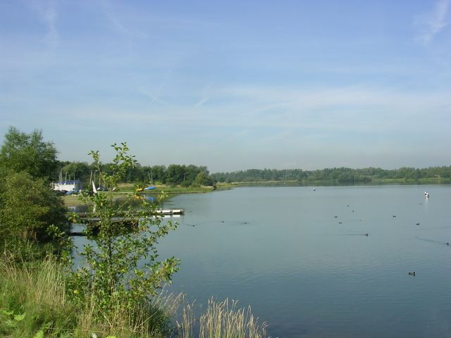
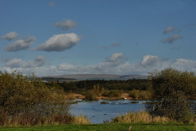
![]() This 490 acre park is located in Leigh, Greater Manchester. The main feature is the 170 acre lake which is now a nature reserve with a number of bird hides. Over 200 bird species have been spotted at the park such as Black-faced Bunting, Nightingale, Marsh Harrier, Spoonbill and Leach's Storm-petre.
The park has a number of well maintained paths suitable for cyclists or walkers.
This 490 acre park is located in Leigh, Greater Manchester. The main feature is the 170 acre lake which is now a nature reserve with a number of bird hides. Over 200 bird species have been spotted at the park such as Black-faced Bunting, Nightingale, Marsh Harrier, Spoonbill and Leach's Storm-petre.
The park has a number of well maintained paths suitable for cyclists or walkers.
Facilities include an information centre, mobile cafe and nine hole golf course. The Bridgwater Canal also passes through the park so you can continue your walk/cycle along the towpath if you have time.
You could try our Worsley Canal Walk which runs from Worsley in Salford Trail to the park.
The Glazebrook Trail long distance footpath also passes the park. You could easily pick it up and head south through the countryside towards Glazebury, Great Woolden Moss and Glazebrook.
Postcode
WN7 3UG - Please note: Postcode may be approximate for some rural locationsPennington Flash Country Park Ordnance Survey Map  - view and print off detailed OS map
Pennington Flash Country Park Open Street Map  - view and print off detailed map
Pennington Flash Country Park OS Map  - Mobile GPS OS Map with Location tracking
Pennington Flash Country Park Open Street Map  - Mobile GPS Map with Location tracking
Pubs/Cafes
There's no on site cafe but there is often a burger van and an ice cream van near the car park.
Dog Walking
The park is a popular place for dog walkers so you will probably see other owners on a fine day.
Further Information and Other Local Ideas
One nice idea is to pick up the Leeds and Liverpool Canal and follow it north west to Wigan Flashes Nature reserve where there are more birdwatching opportunities. You could also pick up the Wigan Canal Walk and further explore the area around the town. The canal towpath can be picked up just to the north of the lake.
For more walking ideas in the area see the Greater Manchester Walks page.
Cycle Routes and Walking Routes Nearby
Photos
Looking roughly northwest across Pennington Flash near Leigh. A flash is a type of lake created through mining subsidence.
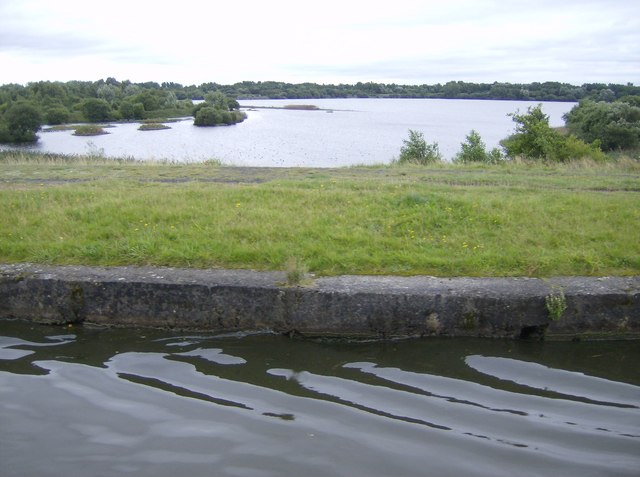
Sunken land due to colliery subsidence has led to many lakes known locally as flashes. This is the largest, Pennington Flash, now an important nature reserve with many different species of birds to be seen. The canal runs along an embankment above the surrounding land, the banks having been raised at various times to cope with the sinking land around.


