Poldice Valley Walk and Mtb
![]()
![]() The Poldice Valley is located in southwest Cornwall near Redruth.
The Poldice Valley is located in southwest Cornwall near Redruth.
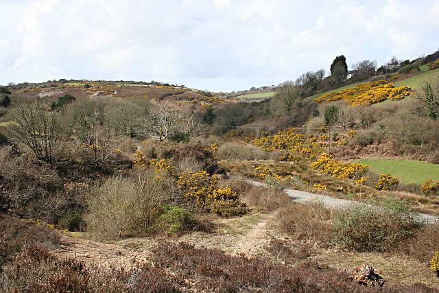
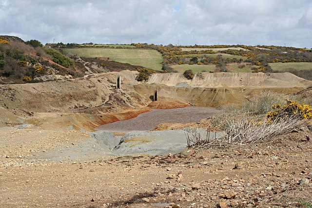
The area is great for mountain biking and walking with miles of off road trails to try. The valley has a moon like appearance with the ruins of the old Poldice mine adding to the unique landscape.
You can start off from the roadside parking area, just to the south of the valley. From here you can pick up paths heading north to explore the mines around Goon Gumpas.
Poldice is considered one of the south west's best places for mountain biking with a series of great free jumps to try.
Part of the route uses a section of the Mineral Tramways Trail which runs through the area. The popular cycling route runs from coast to coast visiting some of Cornwall's historic mine buildings on the way.
Postcode
TR16 5HX - Please note: Postcode may be approximate for some rural locationsPoldice Valley Ordnance Survey Map  - view and print off detailed OS map
Poldice Valley Open Street Map  - view and print off detailed map
Poldice Valley OS Map  - Mobile GPS OS Map with Location tracking
Poldice Valley Open Street Map  - Mobile GPS Map with Location tracking
Further Information and Other Local Ideas
On the south eastern outskirts of Redruth you'll find the splendid Carn Marth. The hill is a fine place to explore with another excellent viewpoint, a pretty quarry lake and an outdoor ampitheatre which runs performances during summer.
Near here there's another amphitheatre to explore at Gwennap Pit. The site has some historical significance having been used by Methodist preacher John Wesley preached several times between 1762 and 1789.


