Sewell Greenway
![]()
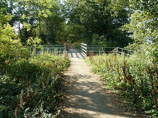
![]() This traffic free cycle path runs along a disused railway line from Sewell to Stanbridgeford in Bedfordshire.
This traffic free cycle path runs along a disused railway line from Sewell to Stanbridgeford in Bedfordshire.
You can pick up the trail just to the west of Dunstable near the little village of Sewell. It then heads west for a distance of just over two miles along a pleasant flat path which makes up part of Sustrans National Cycle Route 6. The surfaced path is also suitable for walkers and horse riders.
Sewell Greenway Ordnance Survey Map  - view and print off detailed OS map
Sewell Greenway Open Street Map  - view and print off detailed map
Sewell Greenway OS Map  - Mobile GPS OS Map with Location tracking
Sewell Greenway Open Street Map  - Mobile GPS Map with Location tracking
Cycle Routes and Walking Routes Nearby
Photos
Dunstable, Dismantled railway and National Cycle Network Route 6. Viewed looking east through the cutting for the trackbed of the long dismantled railway line between Luton and Leighton Buzzard, this is the section of former railway between Dunstable High Street and Stanbridgeford stations, now utilised as National Cycle Network Route 6 which itself runs from London to the Lake District.


