Peddars Way Cycle Route
![]()
![]() Submitted by Mark Worthington: The Peddars Way and Norfolk Coast Path form the 93 mile (149km) National Trail that starts in Knettishall, amid the forest-strewn borders of Norfolk and Suffolk, and ends at Cromer on north Norfolk’s Heritage Coast.
Submitted by Mark Worthington: The Peddars Way and Norfolk Coast Path form the 93 mile (149km) National Trail that starts in Knettishall, amid the forest-strewn borders of Norfolk and Suffolk, and ends at Cromer on north Norfolk’s Heritage Coast.
The Peddars Way itself traces the route of the Roman road, running northwards from the Suffolk border along the north-west Norfolk ridge. Most of it can be cycled, due to much of the route being classified as either bridleway or unclassified county road.
The exceptions to this are public footpaths where cyclists cannot ride and are as follows:-
From the start at Knettishall Heath to south of the A11 trunk road.
A short section by North Pickenham.
From Fring to south of Ringstead.
A very short section just south of Holme-next-the-Sea.
A couple of places where the path runs beside the tarmac road.
For all of these sections there are alternative road links that can easily be followed. See the map for an overview of these sections.
For latest information, see:
National Trail - Peddars Way
For the full National Trail route see the Peddars Way and Norfolk Coast Path page.
The Peddars Way Ordnance Survey Map  - view and print off detailed OS map
The Peddars Way Open Street Map  - view and print off detailed map
The Peddars Way OS Map  - Mobile GPS OS Map with Location tracking
The Peddars Way Open Street Map  - Mobile GPS Map with Location tracking
Further Information and Other Local Ideas
Around Castle Acre the route links up with the long distance Rebellion Way Cycle Route. The epic 232 mile circular ride visits some of the other major highlights of Norfolk, using a series of quiet country lanes and traffic free paths.
Cycle Routes and Walking Routes Nearby
Photos
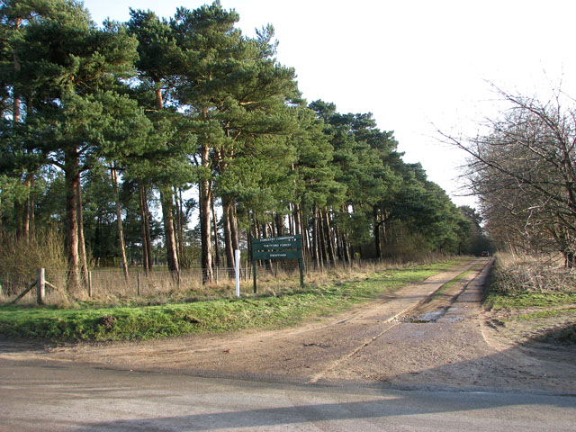
The Peddars Way from Hockham to Illington. This farm track forms a section of the Peddars Way, leading from Illington to Hockham. It is also part of a circular walk which leads from Illington Hall Farm to Little Hockham, from where it turns in southerly direction back to the hamlet of Illington.
View across field beside Peddars Way North. The view is westerly, towards Ringstead tower mill and Mill Farm. Ringstead towermill is six storeys high and built of brick which has been tarred; it once had six sails, a quite unusual feature for Norfolk mills. Built around 1850 by Henry L'Strange Styleman le Strange, it had a boat shaped cap and a stage on the second floor. Located at the end of a track off Peddars Way North, north of the village, the mill was converted to domestic use in 1927.
To Illington. The track seen in the foreground is Bambridge Lane. It turns off the B1075, leading to the village of Illington further in the south.
Elevation Profile


