Thetford Cycle Loop
![]()
![]() This waymarked, circular cycle loop explores the area around Thetford in Norfolk.
This waymarked, circular cycle loop explores the area around Thetford in Norfolk.
On the way you'll enjoy off road trails in Thetford Forest and explore the countryside surrounding the town.
The route starts in the centre of Thetford and heads south to cross the river before passing along Barnhamcross Common. You continue south passing Thetford Heath and the Elveden Estate before turning west along the Duke's Ride at Barrow's Corner.
At Lodge Heath you turn north, passing Lakenheath Warren before entering Wangford Woods. Continue north through Brandon Country Park to the village of Brandon. You then head north east to Santon Downham where you cross the Little Ouse River and continue through Harling Drove and West Tofts Heath.
Continue east to Langmere Pond, East Wreatham Heath and Roudham Heath where you turn south along the Roman Road of the Peddars Way. This will take you towards Brettenham where you turn west to follow a country lane back into Thetford.
Thetford Cycle Loop Ordnance Survey Map  - view and print off detailed OS map
Thetford Cycle Loop Open Street Map  - view and print off detailed map
Thetford Cycle Loop OS Map  - Mobile GPS OS Map with Location tracking
Thetford Cycle Loop Open Street Map  - Mobile GPS Map with Location tracking
Further Information and Other Local Ideas
The long distance Rebellion Way Cycle Route passes through the Thetford area. The epic 232 mile circular ride visits some of the major highlights of Norfolk, using a series of quiet country lanes and traffic free paths.
Cycle Routes and Walking Routes Nearby
Photos
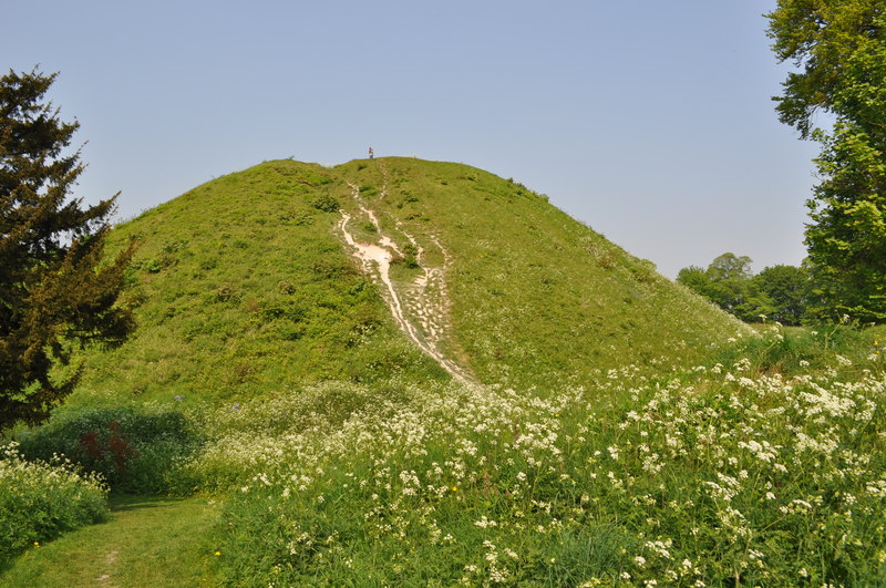
Thetford Castle Hill is an enormous mound, partly sunk into a deep surrounding ditch, and two sets of ramparts. The hill, or mound, is a Norman motte earthwork. It is the highest Norman motte in England, though no trace remains of the castle which once surmounted it. The mound was erected during the time of the civil war (1135 -1154) between the supporters of King Stephen and the Empress Matilda. The wooden buildings were destroyed in 1174. The earth ramparts of the castle defences are believed to have been built on top of much earlier defensive ramparts, belonging to an Iron Age hillfort, dated to somewhere around 400 BC to 100 BC. The site is a Scheduled Monument.
Duke's Ride. Part of the Icknield Way Path, now a farm track and a byway.
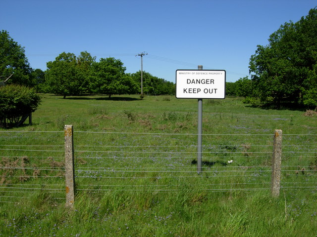
Open Access land at Berner's Heath Access to this area of open heathland at Berner's Heath is only permitted between November and February (inclusive). At other times access is not allowed, in order to allow ground-nesting birds to flourish.


