Vicar Water Country Park
![]()
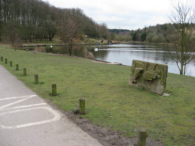
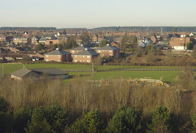
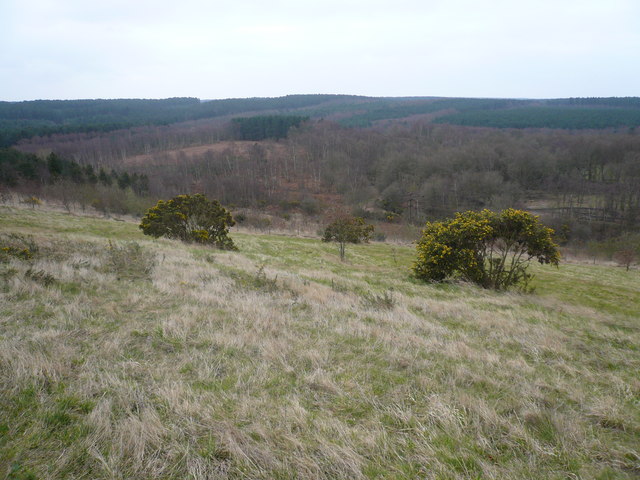
![]() Explore 200 acres of rare heathland, mature woodland and species rich grassland in this country park near Mansfield. The park offers spectacular views across to Derbyshire and Lincolnshire and is home to an abundance of wildlife including herons, kingfishers, foxes, hares, tawny owls, nightjar and woodpeckers. There are also two bodies of water - Vicar Pond and Vicar Water.
Explore 200 acres of rare heathland, mature woodland and species rich grassland in this country park near Mansfield. The park offers spectacular views across to Derbyshire and Lincolnshire and is home to an abundance of wildlife including herons, kingfishers, foxes, hares, tawny owls, nightjar and woodpeckers. There are also two bodies of water - Vicar Pond and Vicar Water.
Vicar Water has super footpaths and bridleways making it ideal for a short cycle or walk. National Cycle Network number 6 runs through the park so you could continue your cycle along the Nottingham to Worksop cycle route.
You could also visit the nearby Sherwood Pines Forest Park and enjoy several waymarked cycling and walking trails.
Our Mansfield Cycle Route starts at Vicar Water and visits the splendid Clumber Park. It's a nice way to visit both parks on your bike in a day.
Postcode
NG21 9AS - Please note: Postcode may be approximate for some rural locationsPlease click here for more information
Vicar Water Country Park Ordnance Survey Map  - view and print off detailed OS map
Vicar Water Country Park Open Street Map  - view and print off detailed map
Vicar Water Country Park OS Map  - Mobile GPS OS Map with Location tracking
Vicar Water Country Park Open Street Map  - Mobile GPS Map with Location tracking
Pubs/Cafes
There's an on site cafe at the visitor centre selling a good range of meals and snacks. You can sit outside and enjoy a nice view of the park with your refreshments.
Dog Walking
The park is a popular place with dog walkers so you'll probably see plenty of other owners on your visit.
Further Information and Other Local Ideas
Just a few miles to the north there's Sherwood Forest Country Park where you can pay a visit to the famous Major Oak. You can access the park from the pretty village of Edwinstowe which lies just to the south of the expansive park.
Cycle Routes and Walking Routes Nearby
Photos
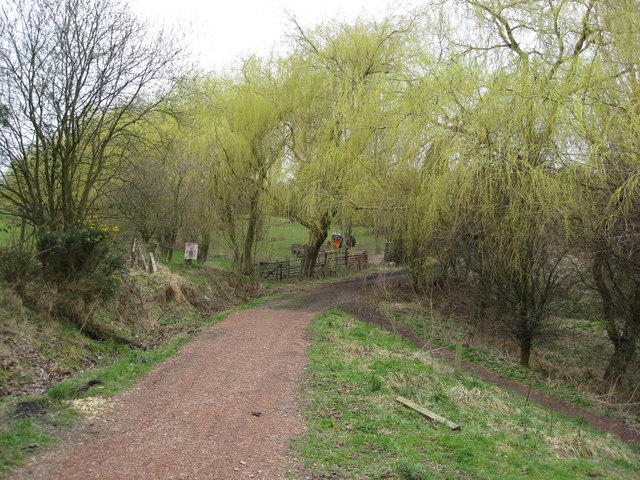
Vicar Water Footpath. The footpath at this point passes by a smallholding with an impressive line of willow trees.
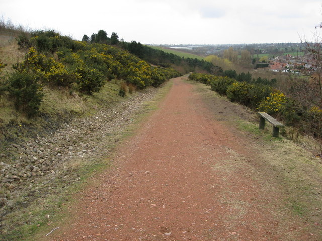
This footpath heads down from the summit and loops back by the small pond near the car park and Visitors Centre.
Golden Hand. The eye catching 10ft sculpture was specially commissioned as part of the Sustrans National Cycle Route, which runs through the Park. Here it appears to be grasping the headstocks of the former Clipstone Colliery.
