W2W Walney to Wear Cycle Route
![]()
![]() This long distance Coast-to-Coast cycle route follows National Cycle Route 70 from Walney Island on the Cumbrian west coast to the mouth of the River Wear in Sunderland on the east coast.
This long distance Coast-to-Coast cycle route follows National Cycle Route 70 from Walney Island on the Cumbrian west coast to the mouth of the River Wear in Sunderland on the east coast.
Starting at Walney Island near Barrow in Furness you follow the trail east through the wonderful scenery and coastline of the Lake District National Park. You continue through the Lune Gorge, the Orton Fells, the Eden Valley, the North Pennines AONB and Durham before finishing at the mouth of the River Wear in Sunderland.
Traffic free sections include the popular Brandon - Bishop Auckland Walk, a shared cycling and walking trail running along a disused railway line.
W2W Cycle Route Ordnance Survey Map  - view and print off detailed OS map
W2W Cycle Route Open Street Map  - view and print off detailed map
W2W Cycle Route OS Map  - Mobile GPS OS Map with Location tracking
W2W Cycle Route Open Street Map  - Mobile GPS Map with Location tracking
Further Information and Other Local Ideas
The route links with:
National Cycle Route 6 at Crosscrake and Natland
Route 68 - Pennine Cycleway at Lowgill
National Cycle Route 71 at Tan Hill
National Cycle Route 14 at Durham and Sherburn
National Cycle Route 1 at the end of the route in Sunderland
Cycle Routes and Walking Routes Nearby
Photos
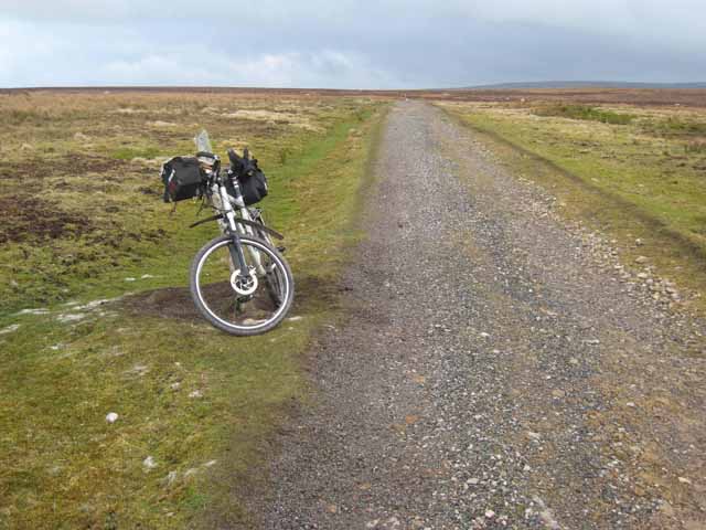
Tan Hill to Sleightholme. At one stage, it seems that a motorable road ran through from Tan Hill to Bowes, but now the upper part above Sleightholme has been abandoned. It still forms a useful link for cyclists and has been incorporated into the W2W (Walney to Wear) Cycle Route
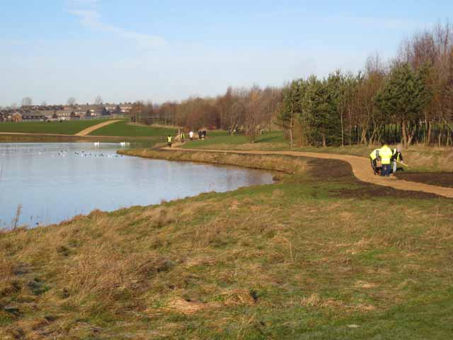
Hetton Lyons Country Park. An attractive public open space maintained by Sunderland City Council. It appears that a new path along the east side of the lake is under construction. The W2W (Walney to Wear) Cycle route passes through the Park.
Western end of Hummerbeck Lane, West Auckland. Recently, Hummerbeck Lane has been designated as part of the Walney to Wear Cycle Route (Regional Route 20), and affords a traffic-free but rather muddy route for cyclists between Bishop Auckland and Barnard Castle. Looking north-east. At this point, the lane emerges onto Hilton Moor Lane.
Brandon to Bishop Auckland path, near Brancepeth. The Brandon to Bishop Auckland is one of the many foot- and cycle-paths in County Durham, founded on an old railway. This one forms part of the National Cycle Network, Regional Route 20 (better known as W2W) from Walney to Wear. Like many such paths, it is very popular with dog walkers. The rise in the background is where an old overbridge has been filled in (as happens often in these cases)


