Abberley Hill Circular Walk
![]()
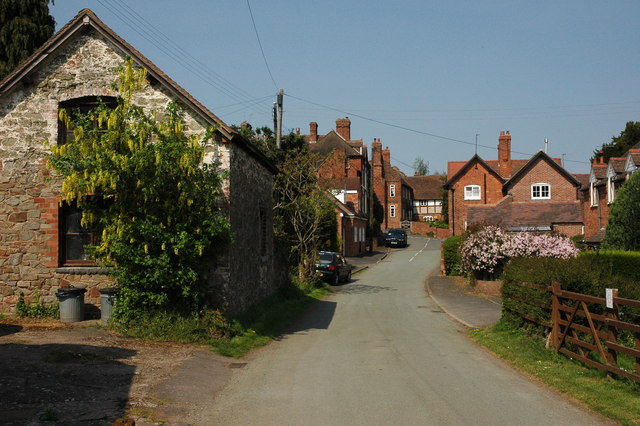
![]() This waymarked circular walk takes you through the countryside surrounding the pretty Worcestershire village of Abberley.
This waymarked circular walk takes you through the countryside surrounding the pretty Worcestershire village of Abberley.
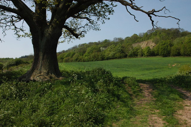
The varied route runs for about 4 miles and includes woodland trails and a climb to Abberley Hill where you can enjoy splendid views of the surrounding countryside.
The walk starts from the village green and then follows path through the village. You continue north east to Netherton House where you pick up the Worcestershire Way. This leads you south east to Shavers End where you climb through woodland toward Abberley Hill. Standing at a height of 283 metres (928 ft) the hills commands fine views over the Abberley and Malvern Hills Geopark.
After taking in the views the route descends back down to the village where you can enjoy refreshments at one of the nice pubs or cafes.
Part of this route uses a section of the Worcestershire Way long distance footpath. You can pick up the trail and follow it south past Abberley Hall to Woodbury Hill. Soon after you will come to the village of Martley where you can try the Martley Circular Walk.
Abberley Circular Walk Ordnance Survey Map  - view and print off detailed OS map
Abberley Circular Walk Open Street Map  - view and print off detailed map
Abberley Circular Walk OS Map  - Mobile GPS OS Map with Location tracking
Abberley Circular Walk Open Street Map  - Mobile GPS Map with Location tracking
Pubs/Cafes
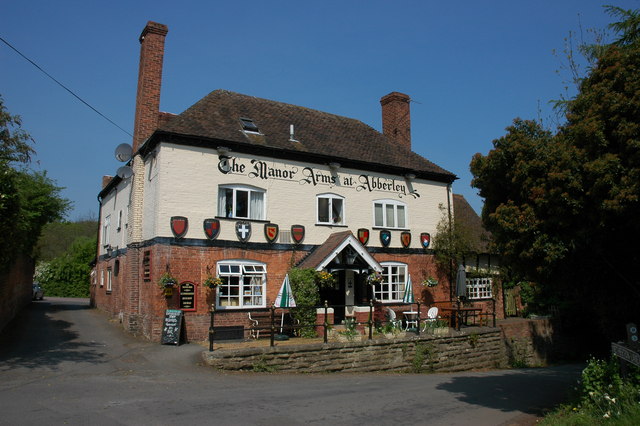
The Manor Arms in the village is a historic pub of some note. The inn has an interesting history dating back to the 17th century when it was owned by the Lord of the Manor and was originally a much smaller inn with its own brew house. They have a wonderful sunny terrace and decking area overlooking the hills behind the village. It's the ideal spot to relax in on warmer days. You can find the inn at a postcode of WR6 6BN for your sat navs.
Dog Walking
The countryside, woodland and hills surrounding the village are ideal for a dog walk. The Manor Arms pub mentioned above also welcomes dogs with a dog friendly dining area.
Further Information and Other Local Ideas
Head just a few miles south of the village and you can visit the splendid Witley Court. Here you can explore the expansive gardens surrounding the palatial 19th century mansion.
Cycle Routes and Walking Routes Nearby
Photos
St Michael's church, Abberley. St Michael's is the old church at Abberley and only the chancel still has a roof, the church was replaced in the nineteenth century when the new church was built. Services still take place in the chancel.


