Shipley Bridge Avon Dam Walk
![]()
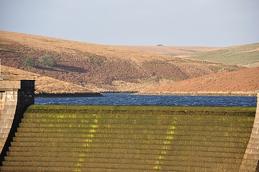
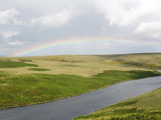
![]() This walk takes you from Shipley Bridge to the Avon Dam reservoir along the River Avon. The walk begins at the car park at Shipley Bridge about 2 miles south of the reservoir. You then pick up a well surfaced trail along the river to the Dam before continuing around the northern side of the reservoir. The walk passes Brent Moor, Dockwell Ridge, Gripper's Hill and Dean Moor. It's a lovely riverside walk with weirs, brooks and great views of the surrounding Dartmoor countryside.
This walk takes you from Shipley Bridge to the Avon Dam reservoir along the River Avon. The walk begins at the car park at Shipley Bridge about 2 miles south of the reservoir. You then pick up a well surfaced trail along the river to the Dam before continuing around the northern side of the reservoir. The walk passes Brent Moor, Dockwell Ridge, Gripper's Hill and Dean Moor. It's a lovely riverside walk with weirs, brooks and great views of the surrounding Dartmoor countryside.
The Two Moors Way runs past the northern end of the reservoir so you could pick this up to continue your walk.
Postcode
TQ10 9EL - Please note: Postcode may be approximate for some rural locationsAvon Dam Ordnance Survey Map  - view and print off detailed OS map
Avon Dam Open Street Map  - view and print off detailed map
*New* - Walks and Cycle Routes Near Me Map - Waymarked Routes and Mountain Bike Trails>>
Avon Dam OS Map  - Mobile GPS OS Map with Location tracking
Avon Dam Open Street Map  - Mobile GPS Map with Location tracking
Further Information and Other Local Ideas
The circular South Brent Walk visits the site from the village to the south. It will take you along the River Avon to the dam before returning along the old tramway to the west. The walk is a good option if you would like a longer route through the area. Historic South Brent is also worth exploring with a Norman church and a fine local pub dating back to medieval times.
A few miles to the north there's more lovely waterside walks around Venford Reservoir. There's also a nice viewpoint at Bench Tor with fine views over the River Dart Valley.


