Barbrook Reservoir and Stone Circle Walk
![]()
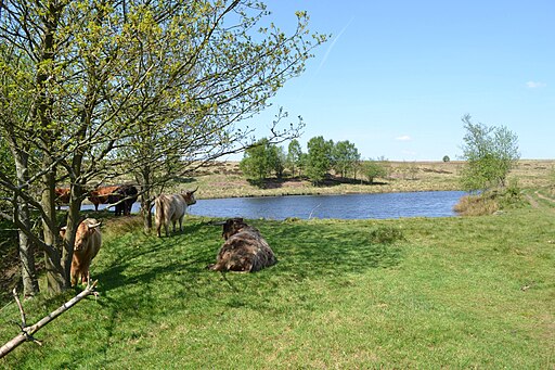
![]() This walk visits Barbrook Reservoir and Stone Circle on Big Moor and Ramsley Moor in the Peak District National Park. There's much to enjoy with waterside trails, a series of ancient sites and wonderful views across the moors.
This walk visits Barbrook Reservoir and Stone Circle on Big Moor and Ramsley Moor in the Peak District National Park. There's much to enjoy with waterside trails, a series of ancient sites and wonderful views across the moors.
You can start the walk from the roadside parking area on the B6054 just west of Holmesfield. Then follow trails south along the Bar Brook to the reservoir which dates to the 19th century. You continue south to a smaller reservoir before heading south east to visit the stones.
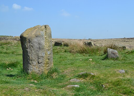
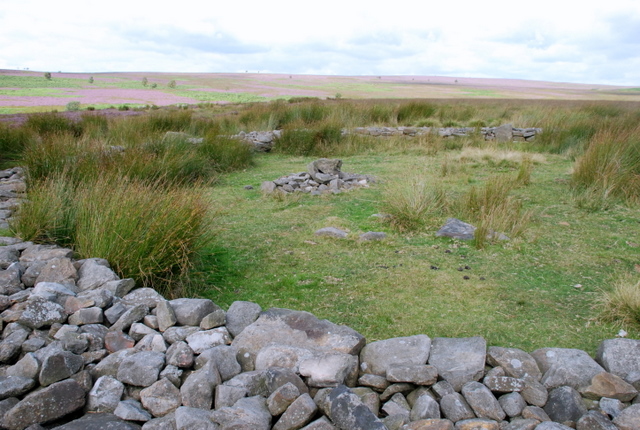
The stone circle is part of a cairn field on the moor with 80 cairns from the prehistoric and Bronze Age era. The area is a designated Scheduled Ancient Monument. It's a tranquil and somewhat desolate place with rolling hills of heather and gorse adding to the atmospheric scene.
To continue your walking in this area head west to the fine viewpoints at White Edge, Froggatt Edge and Curbar Edge.
Barbrook Reservoir and Stone Circle Ordnance Survey Map  - view and print off detailed OS map
Barbrook Reservoir and Stone Circle Open Street Map  - view and print off detailed map
Barbrook Reservoir and Stone Circle OS Map  - Mobile GPS OS Map with Location tracking
Barbrook Reservoir and Stone Circle Open Street Map  - Mobile GPS Map with Location tracking
Further Information and Other Local Ideas
Just to the north west there's Millstone Edge where there's some wonderful rock formations and the old millstones from the Millstone Edge Quarry. The climb to Owler Tor can also be started from the same Surprise View car park.
Cycle Routes and Walking Routes Nearby
Photos
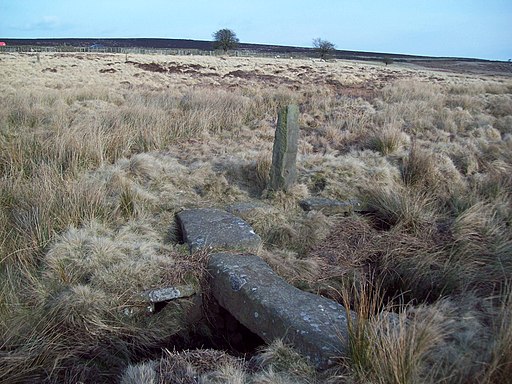
Clam Bridge over Bar Brook. This old clam bridge is close to the B6054 road (note the cars in the background) but is easily missed as no obvious footpaths cross the brook here now. In this example one of the two slabs is sufficient to straddle the brook, although other bridges of this type are typically held together with iron rods.
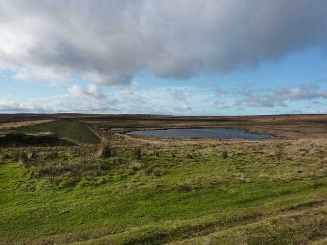
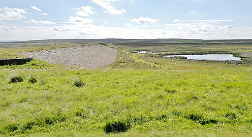
Barbrook Reservoir. This reservoir lies on Big Moor, which is the huge tract of moorland between the Owler Bar to Froggatt Road and the Owler Bar to Baslow Road. Recently the water has been drained off and the dam wall breached. This is because the reservoir has not been used as a water supply source for many years. To comply with current safety legislations, it has been necessary to drain and formally ‘discontinue' the structure to ensure that it can no longer retain significant volumes of water.
The ‘still' or pond reservoir was originally constructed by impounding the Bar Brook, which rises on Totley Moss and eventually joins the River Derwent at Baslow, by Chesterfield RDC Waterworks Department in about 1882. Subsequently, in 1908 or 1910 a new dam wall was constructed to encompass some 30 acres and hold 100 million gallons of water; at it's deepest the new reservoir was 34 feet deep.
