White Edge Circular Walk
![]()
![]() This circular walk climbs to White Edge on the Longshaw Estate in the Peak District National Park.
This circular walk climbs to White Edge on the Longshaw Estate in the Peak District National Park.
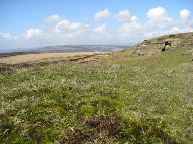
The area has some wonderful geology, pretty heather and wonderful views from the high points. The walk additionally visits Barbrook Reservoir And Stone Circle on Big Moor to the east of the edge.
You can start the walk from the Wooden Pole National Trust Car Park just to the north of the edge near Nether Padley. From here you can follow a footpath heading south across White Edge Moor and Big Moor.
The route then turns north east towards Barbrook Reservoir where you could take a detour to visit the nearby ancient stone circle.
The edge is often traversed in a circular walk with the nearby Curbar Edge and Froggatt Edge.
Postcode
S32 2HX - Please note: Postcode may be approximate for some rural locationsWhite Edge Ordnance Survey Map  - view and print off detailed OS map
White Edge Open Street Map  - view and print off detailed map
White Edge OS Map  - Mobile GPS OS Map with Location tracking
White Edge Open Street Map  - Mobile GPS Map with Location tracking
Cycle Routes and Walking Routes Nearby
Photos
Wooden Pole on Longshaw Edge. This pole has been here for many years and is now in a fragile state. A replacement pole appears to be lying on the ground nearby.


