Barden Bridge to Bolton Abbey Walk
![]()
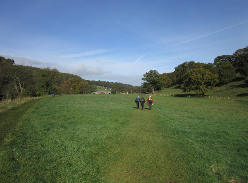
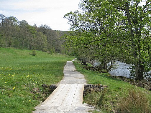
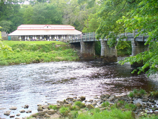
![]() This is a popular riverside walk from Barden Bridge to Bolton Abbey along a section of the Dales Way.
This is a popular riverside walk from Barden Bridge to Bolton Abbey along a section of the Dales Way.
Passing along the River Wharfe the route runs for about 3.4 miles so roughly a 7 mile walk there and back.
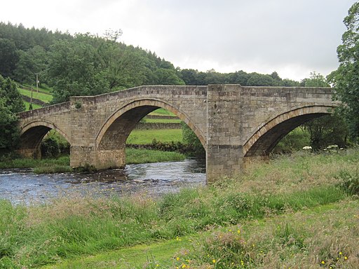
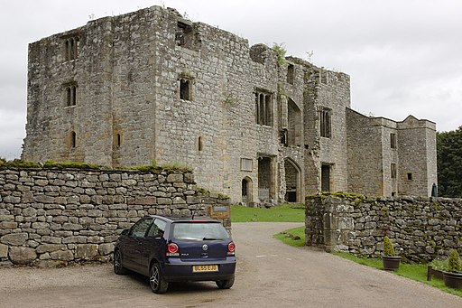
You can start off from the public car park at Barden Bridge where you can visit the nearby Barden Tower. The medieval fortified tower dates back to the 15th century when it was originally a hunting lodge.
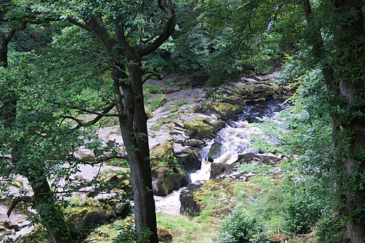
The route then heads south east, passing Strid Wood where you will find a rushing waterfall.
Shortly after you will come to the site of the fascinating ancient priory. Here you can explore the ruins of the 12th-century Augustinian monastery and pick up one of the colour coded nature trails.
To continue your walking from the car park head west to visit Barden Reservoir where there's a lovely circular trail around the picturesque lake.
Postcode
BD23 6AS - Please note: Postcode may be approximate for some rural locationsBarden Bridge to Bolton Abbey Ordnance Survey Map  - view and print off detailed OS map
Barden Bridge to Bolton Abbey Open Street Map  - view and print off detailed map
Barden Bridge to Bolton Abbey OS Map  - Mobile GPS OS Map with Location tracking
Barden Bridge to Bolton Abbey Open Street Map  - Mobile GPS Map with Location tracking
Further Information and Other Local Ideas
From the abbey car park you could pick up the Simon's Seat Walk. This more challenging hill climb will reward you with wonderful views over the abbey and the Yorkshire Dales.
Barden Tower has strong links to Lady Anne Clifford who renovated the building in the mid 17th century. You can pick up the Lady Anne's Way long distance trail at the site and follow it to other historic buildings connected to the Clifford family.
Cycle Routes and Walking Routes Nearby
Photos
Barden Tower. This ancient building is a significant historical site on the Lady Anne's Way long distance path. Lady Anne restored the tower in 1659. Surprisingly, it did not belong to her, but on her death it was returned to the rightful owners, The Earls of Cork. Sadly the building fell into decline in the late 18th century.
