Bathampton Walk - Claverton and Limpley Stoke
![]()
![]() This village east of Bath has some nice waterside trails along the River Avon and the Kennet and Avon Canal. There's also some hills climbs to the south of the village on Bathampton Rocks and Bathampton Down.
This village east of Bath has some nice waterside trails along the River Avon and the Kennet and Avon Canal. There's also some hills climbs to the south of the village on Bathampton Rocks and Bathampton Down.
This walk from the village visits the neighbouring settlements of Claverton, Monkton Coombe and Limpley Stoke. On the way you'll enjoy waterside paths along the Kennet and Avon Canal and a visit to the wonderful American Museum in Claverton. The museum includes informative exhibitions and 125 acres of beautiful gardens and grounds. There's also a climb to Bathampton Down above the village. Here you can enjoy splendid views over the surrounding area.
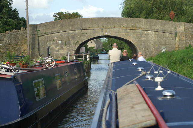
The walk starts on the canal in the village. You can follow the towpath south and it will take you to Claverton where there's a Grade II listed pumping house and a church which dates from the 13th century. On this section you'll also pass close to the lovely Bathampton Meadows next to the River Avon. Here you'll find wet meadows and an oxbow lake which attract birds such as dunlin, ringed and little ringed plover and common sandpiper.
The route continues south before leaving the canal to visit the pretty little village of Monkton Combe where there's a notable public school. The route then heads south east to visit Limpley Stoke near Freshford. There's a noteworthy 13th century to church to explore in Limpley Stoke before continuing the walk.
After exploring the villages the route retuns to the canal to follow it back to Claverton. Here you leave the canal and pass the American Museum. The museum is well worth a visit if you have time. It takes you on a journey through the history of America with exhibitions and a fine collection of folk and decorative arts. There's also 125 acres of grounds with views of the Limpley Stoke Valley and the River Avon. See the video below for an idea of what you will find at this excellent local attraction.
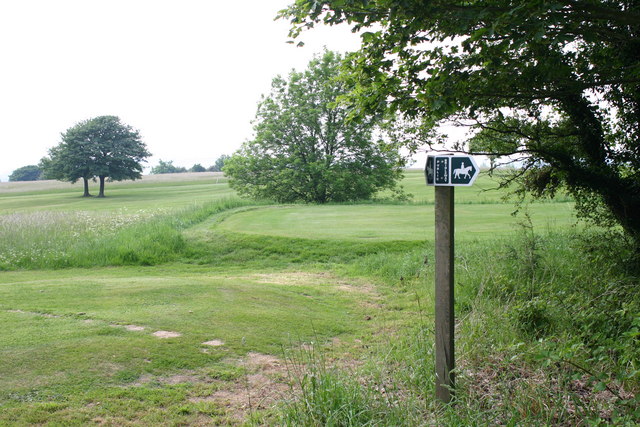
From the museum you head north to climb up to Bathampton Down. There are some nice elevated footpaths past the golf course which will lead you back to Bathampton.
Bathampton Ordnance Survey Map  - view and print off detailed OS map
Bathampton Open Street Map  - view and print off detailed map
*New* - Walks and Cycle Routes Near Me Map - Waymarked Routes and Mountain Bike Trails>>
Bathampton OS Map  - Mobile GPS OS Map with Location tracking
Bathampton Open Street Map  - Mobile GPS Map with Location tracking
Pubs/Cafes
The Bathampton Mill is in a lovely spot on the river in the village. There's a splendid large garden and courtyard area where you can relax with views over the water. Inside there's a sylish interior with a log fire and delicious Mediterranean cuisine to sample from the menu. You can find them right on the river on Mill Lane with a postcode of BA2 6TS for your sat navs. There's also a large car park if you wanted to start a walk from there.
Dog Walking
The canal, river and woodland trails on the route make for a nice dog walk. The Bathampton Mill mentioned above is also dog friendly.
Further Information and Other Local Ideas
Head west along the canal and you will soon come into Bath with its wonderful architecture. The Bath Skyline Walk runs through the village and is considered one of the walking highlights of the area. There are wonderful views over the city from this wonderful elevated path.
Just to the north there's the climb to Little Solsbury Hill from Batheaston. There's more excellent views from this small hill made famous by the Peter Gabriel song 'Solsbury Hill'.
To the east there's the worthy village of Monkton Farleigh where you can explore the attractive estate of the 18th century Monkton Farleigh Manor House. The circular walk also visits South Wraxall with its 15th century manor house. Just to the north west of the village you can also climb to Bathford Hill and visit Brown's Folly. The 19th century tower is surrounded by a nature reserve with woodland, wildlife and countryside views.
For more walking ideas in the area see the Somerset Walks and the Cotswolds Walks pages.
Cycle Routes and Walking Routes Nearby
Photos
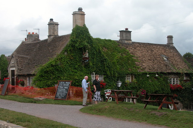
The George, Bathampton. Situated on the towpath beside the Kennet and Avon canal. This pub is supposedly the scene of the last ever duel on English soil, and is haunted by an 18th century Frenchman, Jean Baptiste Du Barr'e who died in the pub after being carried there following a duel.
Cricket field, near Monkton Combe. This cricket field appears in the Ealing comedy 'The Titfield Thunderbolt' towards the end. For people who appreciate trivia the scene shows a batsman being bowled out when his attention is distracted by the appearance of the eponymous train. The bails leave the stumps as the ball arrives at the wicket at least a foot (304.8 mm) off-target. The pavilion is just outside this square at ST778619.


