Monkton Farleigh Walks
![]()
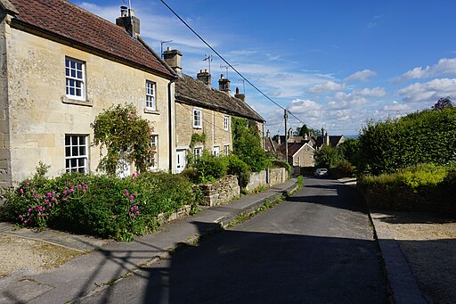
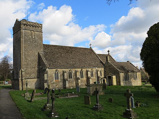
![]() This pretty village is located in West Wiltshire near Bradford-on-Avon and Bath. It's an interesting and historic place with a Grade I listed Manor House, a church dating back to the 12th century and a fine local pub dating to the 17th century.
This pretty village is located in West Wiltshire near Bradford-on-Avon and Bath. It's an interesting and historic place with a Grade I listed Manor House, a church dating back to the 12th century and a fine local pub dating to the 17th century.
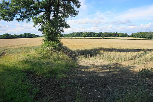
For walkers there's some lovely open countryside with views of the surrounding countryside of the River Avon valley and the Cotswolds.
This circular walk from the village visits the neighbouring village of South Wraxall and Lower Wraxall.
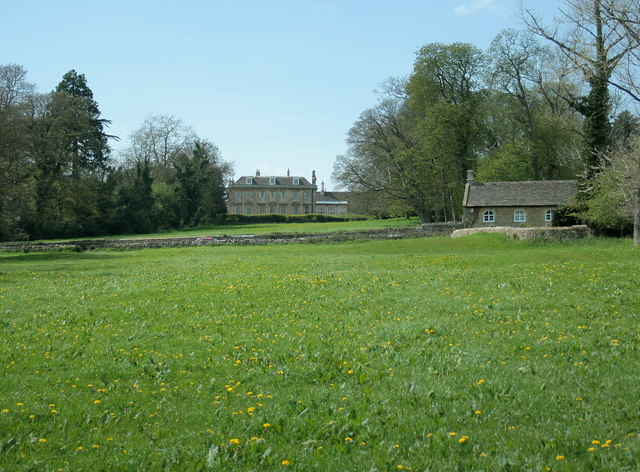
You can start from the historic Monkton Farleigh Manor House which dates to the 1700s and includes the ruins of a 12th century priory. From here you can enjoy a walk down the Grand Avenue where there are fine views across the estate grounds. This will takes you east towards Wraxall where there is another old manor house and a disused chapel.
Here you can also pick up a section of the Macmillan Way and follow it south between South Wraxall and Lower Wraxall. The route then follows a country lane north west to return to Monkton Farleigh.
Postcode
BA15 2QH - Please note: Postcode may be approximate for some rural locationsMonkton Farleigh Ordnance Survey Map  - view and print off detailed OS map
Monkton Farleigh Open Street Map  - view and print off detailed map
Monkton Farleigh OS Map  - Mobile GPS OS Map with Location tracking
Monkton Farleigh Open Street Map  - Mobile GPS Map with Location tracking
Walks near Monkton Farleigh
- Batheaston - This village sits on the eastern edge of the city of Bath
- River Avon Trail - Travel along the River Avon from Pill to Bath via Bristol on this delightful trail
You start off in the village of Pill, near the mouth of the river, and head to Bristol through the stunning Avon Gorge - Kennet and Avon Canal Walk - A splendid waterside walk from the Thames at Reading, through Thatcham, Newbury, Hungerford, Great Bedwyn, Pewsey, Devizes, Bradford on Avon to Bath
- Little Solsbury Hill - This circular walk climbs this small hill made famous by the Peter Gabriel song 'Solsbury Hill'
- Freshford - This circular walk from the Somerset village of Freshford takes you to Avoncliff with its splendid aqueduct on the River Avon and Kennet and Avon Canal.
The walk starts from Freshford train station which is on the Great Western Railway - Bath Canal Walk - This is a popular walk along the Kennet and Avon Canal from Bath to Bradford on Avon
- Bath Skyline Walk - Enjoy wonderful views of the city of Bath on this popular circular walk
- Bathampton - This village east of Bath has some nice waterside trails along the River Avon and the Kennet and Avon Canal
- Colerne - This pretty village is located in North Wiltshire, close to the city of Bath
- Biddestone - This pretty village is located in a pleasant rural location in north west Wiltshire
- Castle Combe - Enjoy a short circular walk around this delightful Cotswolds village
- Corsham Court - Follow footpaths across Corsham Park on this walk near Chippenham
- Badminton House and Estate - Enjoy a walk through the Duke of Beaufort's estate on this easy circular walk in the Cotswolds
- Lacock Abbey and Village - Explore the picturesque streets and historic buildings of Lacock Village before a visit to the beautiful Lacock Abbey set within its own delightful woodland grounds.
- Bowood House - This Georgian country house is located on the edge of the North Wessex Downs, near the Wiltshire town of Calne
- Chippenham to Calne Railway Path - This is a nice easy cycle or walk along the disused railway path from Chippenham to Calne
- Chippenham to Lacock Walk - A walk from Chippenham, through the countryside to the lovely Lacock Abbey and Village
- Holt Wiltshire - This worthy Wiltshire village is located close to Bradford on Avon, Trowbridge Park and Melksham in an attractive part of the county
- Heaven's Gate Longleat - Enjoy wonderful views over the Longleat Estate and the surrounding Wiltshire countryside on this short walk near Warminster
- Browns Folly - This walk visits Brown's Folly near Bathford and Monkton Farleigh on the Somerset/Wiltshire border.
Pubs/Cafes
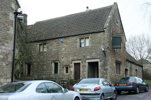
The King's Arms can be found in the village at postcode BA15 2QH. The pub dates back to the 17th century and has a particularly delightful garden area with views of the countryside. It's a fine place to relax in the summer with a drink or quality meal from their menu. The inn also has a parking area and is dog friendly.
Further Information and Other Local Ideas
Just to the north west of the village you can climb to Bathford Hill and visit Brown's Folly. The 19th century tower is surrounded by a nature reserve with woodland, wildlife and countryside views.
Photos
The village is known for its underground mines of Bath Stone, which were converted into one of the largest Ministry of Defence underground ammunition stores in the country
South Wraxall Manor. A Grade I listed country house which dates from the early 15th century. According to popular legend, the house was the first place tobacco was smoked in England, by Sir Walter Long and his friend Sir Walter Raleigh (although this has also been said of other houses related to Raleigh).
