Ben Lui Walk
![]()
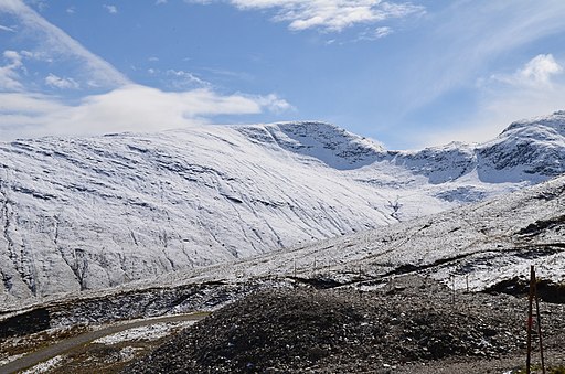
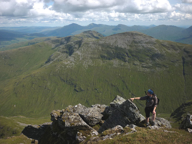
![]() Climb to the 1,130 m (3,710 ft) summit of this famous Munro in the Loch Lomond and the Trossachs National Park. The peaks of Ben Lui are designated as a National Nature Reserve with lush mountain vegitation including saxifrages, mosses and lichens.
Climb to the 1,130 m (3,710 ft) summit of this famous Munro in the Loch Lomond and the Trossachs National Park. The peaks of Ben Lui are designated as a National Nature Reserve with lush mountain vegitation including saxifrages, mosses and lichens.
This walk starts from the car park in Glen Lochy just off the A85 and crosses the River Lochy before a pleasant woodland section along a burn. After leaving the woodland you continue the climb past Fionn Choire to the summit where you can enjoy wonderful views of the surrounding peaks. You can extend your walk by heading to Beinn a' Chleibh which lies about 1.5 miles to the south west.
Ben Lui Ordnance Survey Map  - view and print off detailed OS map
Ben Lui Open Street Map  - view and print off detailed map
Ben Lui OS Map  - Mobile GPS OS Map with Location tracking
Ben Lui Open Street Map  - Mobile GPS Map with Location tracking
Further Information and Other Local Ideas
Head a few miles north of the car park and you can explore Glen Orchy. There's rivers, streams, waterfalls, woodland and miles of great cycling and walking trails to enjoy here. The epic West Highland Way can also be picked up near here. The long distance cycle and walking route is one of the highlights of the area. You can pick up the Tyndrum to Bridge of Orchy Walk here and follow a popular section of the trail south to Tyndrum via the Old Military Road.
The beautiful Loch Tulla and Loch Awe and Kilchurn Castle are also not too far away. The former can be reached on the Bridge of Orchy to Kingshouse Walk.
To the north east you can explore the beautiful and peaceful Glen Lyon. The route takes you along the River Lyon to Loch Lyon with a visit to the lovely post office cafe in Bridge of Balgie at the start.
Cycle Routes and Walking Routes Nearby
Photos
Elevation Profile


