Betws Y Coed Miners Bridge Walk
1.9 miles (3 km)
![]()
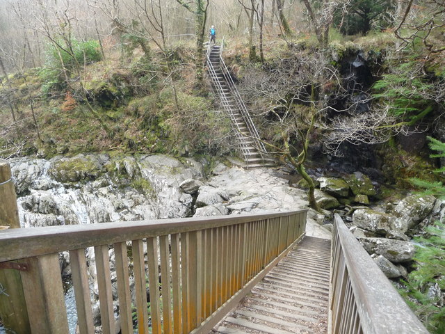
![]() This walk takes you along the river Llugwy to the old Miner's Bridge in Betws-y-coed, Snowdonia.
This walk takes you along the river Llugwy to the old Miner's Bridge in Betws-y-coed, Snowdonia.
It's about a one mile walk from the village to the bridge, passing along a lovely riverside footpath. On the way there's the rushing river and lots of wildlife to look out for. At the end of the route you can walk onto the bridge and enjoy some splendid views down the river gorge. There's also a photogenic waterfall and lush vegitation in this area.
You can continue your walking in the area by picking up the Betws Y Coed River Walk. This circular walk takes you along both the River Llugy and the River Conwy on the eastern side of the village.
To extend this walk continue west to visit the popular Swallow Falls.


