Pentrefoelas Walks
![]()
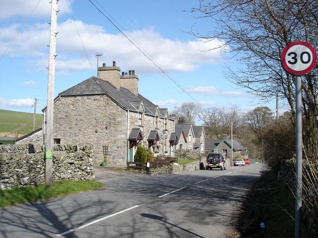
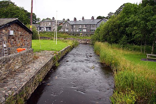
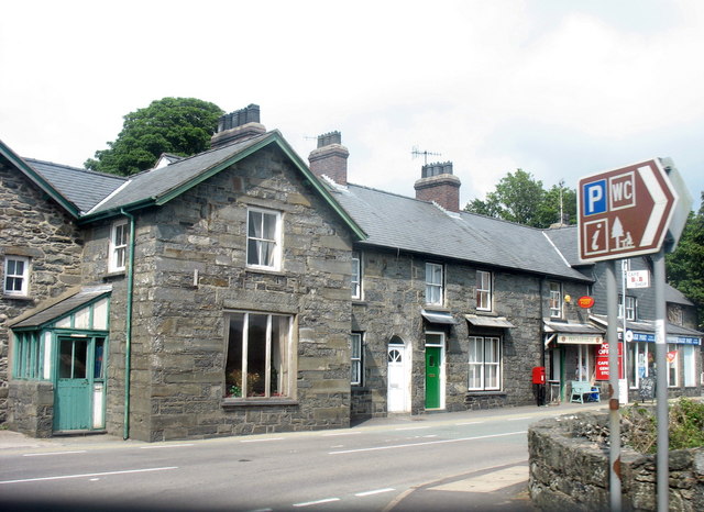
![]() This little village in Conwy county has some pleasant country trails and nice paths along the Afon Merddwr for walkers to enjoy.
This little village in Conwy county has some pleasant country trails and nice paths along the Afon Merddwr for walkers to enjoy.
Pentrefoelas is located just a few miles east of the popular village of Betws y Coed where there are numerous walks around Snowdonia.
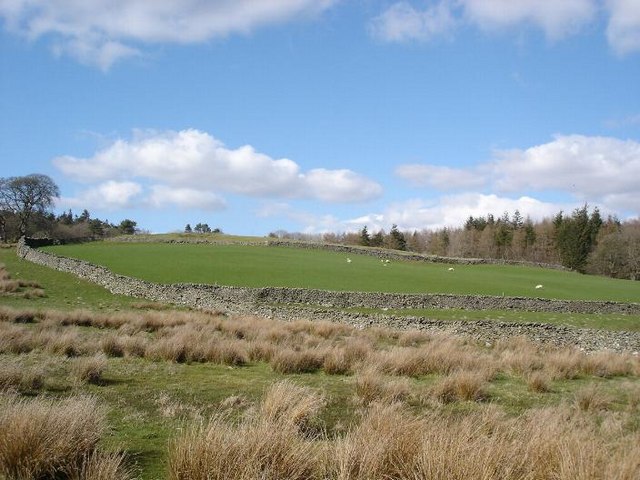
This circular walk from Pentrefoelas explores the countryside around the village using a mixture of country lanes, bridle tracks and public footpaths. On the way there's some lovely views towards the mountains and hills of Snowdonia. You'll also pass along the Afon Merddwr which flows through the village.
To continue your walking in the area head a few miles east to Alwen Reservoir where you can pick up the Alwen Reservoir Trail. Near here there's also Llyn Brenig where there are more fine waterside walks to enjoy.
Postcode
LL24 0HT - Please note: Postcode may be approximate for some rural locationsPentrefoelas Ordnance Survey Map  - view and print off detailed OS map
Pentrefoelas Open Street Map  - view and print off detailed map
*New* - Walks and Cycle Routes Near Me Map - Waymarked Routes and Mountain Bike Trails>>
Pentrefoelas OS Map  - Mobile GPS OS Map with Location tracking
Pentrefoelas Open Street Map  - Mobile GPS Map with Location tracking
Walks near Pentrefoelas
- Alwen Trail - This is a circular cycling and walking trail around the delightful Alwen Reservoir in Conwy, North Wales
- Llyn Brenig - A long circular walk around the beautiful Llyn Brenig, in the heart of the Denbigh Moors
- Denbigh - This market town is located in the north east of Wales in the county of Denbighshire
- Betws Y Coed Miners Bridge Walk - This walk takes you along the river Llugwy to the old Miner's Bridge in Betws-y-coed, Snowdonia.
- Betws Y Coed River Walk - A circular walk along the River Llugy and the River Conwy in the Snowdonia village of Betws Y Coed
- Fairy Glen Betws y Coed - Visit this delightful glen in Betws y Coed and enjoy little waterfalls, rapids and cascades in a wooded gorge on the River Conwy
- Swallow Falls - This walk follows the Afon Llugwy from Betws-y-Coed to the beautiful Swallow Falls in the Snowdonia National Park
- Gwydyr Forest - This large area of woodland encircles the popular village of Betws-y-Coed in the Snowdonia National Park
- Llyn Parc - This walk takes you from Betws Y Coed to the lovely Llyn Parc in the Gwydyr Forest
- Llyn Elsi - This circular walk visits the lovely Llyn Elsi from the village of Betws-y-Coed in the Snowdonia National Park
- Fishermans Walk Betws Y Coed - This walk takes you through the stunning scenery of the River Lledr Gorge in Dolwyddelan, Conwy.
Pubs/Cafes
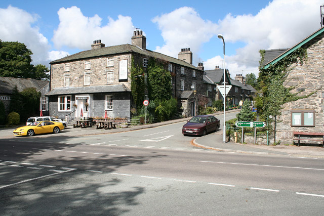
The Foelas Arms is an old coaching in located in the village. The inn was originally a farm which received its coaching licence in 1839, the Royal Mail coach once stopped here on its way from London through Betws-y-Coed to Holyhead. There is car parking, a garden area and good quality food served in the evenings. The inn is also dog friendly.
Photos
Pentrefoelas: The Foelas Arms. An hotel on the A5 road, the trunk route surveyed by Telford in 1815-1817, linking London and Holyhead and facilitating improved communications with Dublin
