Bexley River Walk
![]()
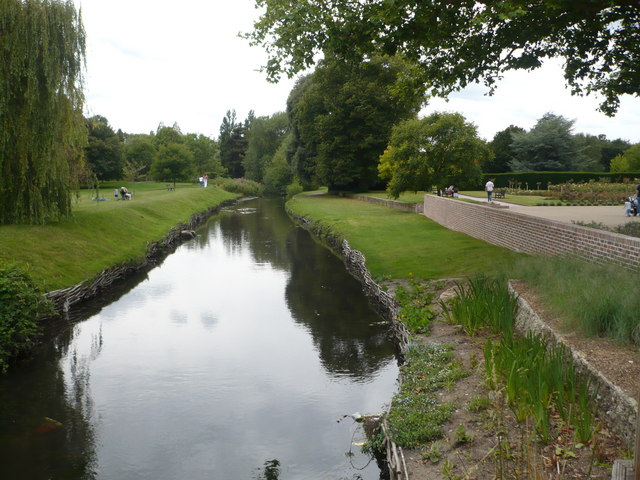
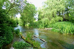
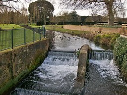
![]() This circular walk from Bexley Train Station uses a section of the London Loop and other public footpaths to visit some of the highlights of the area. You'll visit the River Cray, Foots Cray Meadows, Joydens Wood and the splendid Hall Place Gardens. There's nice riverside paths, woodland trails, beautiful gardens and lots of wildlife to look out for on the way.
This circular walk from Bexley Train Station uses a section of the London Loop and other public footpaths to visit some of the highlights of the area. You'll visit the River Cray, Foots Cray Meadows, Joydens Wood and the splendid Hall Place Gardens. There's nice riverside paths, woodland trails, beautiful gardens and lots of wildlife to look out for on the way.
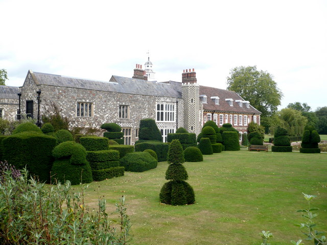
The walk starts from Bexley station where there are 4 trains per hour to London Charing Cross via Sidcup and 2 trains per hour to London Cannon Street via Sidcup & Lewisham. At the station you can directly pick up the London Loop and follow the waymarked path south west to join up with the River Cray. Follow the path to Fiver Arch Bridge where you turn east to follow Parsonage Lane into Joydon's Wood. Here you can follow woodland trails north to pick up the London Loop again. Follow this north east past Churchfield Wood and it will take you to the deilightful Hall Place Gardens. Here you'll find an historic house, a visitor centre, a riverside cafe, a glasshouse, a bird hide, a butterfly experience and an owl experience. The gardens are free to walk around or you can pay a fee to the National Trust to explore the old house.
After leaving the gardens you pick up the London Loop again and follow it back to Bexley station where the route finishes.
Bexley Ordnance Survey Map  - view and print off detailed OS map
Bexley Open Street Map  - view and print off detailed map
*New* - Walks and Cycle Routes Near Me Map - Waymarked Routes and Mountain Bike Trails>>
Bexley OS Map  - Mobile GPS OS Map with Location tracking
Bexley Open Street Map  - Mobile GPS Map with Location tracking
Pubs/Cafes
At Hall Place there's a lovely riverside cafe where you could stop off for refreshments on the walk. The do a good range of meals and snacks and can be found at postcode DA5 1PQ for your sat navs.
Dog Walking
The river paths and woodland areas are ideal for dog walking. At Hall Place dogs are not allowed in the cafe or the formal gardens but there's an adjacent sports field where dogs can run around.
Further Information and Other Local Ideas
A couple of miles east of the station you'll find some more nice trails on Dartford Heath. There's several picturesque ponds, peaceful woodland and pretty heather to see here.
Also nearby is Danson Park where there's more nice footpaths taking you around pretty gardens and a large lake. You can find the park just over a mile to the north west of the train station.
Just to the east you could pick up the Cray Riverway. This pleasant waterside walk will take you south along the River Cray to the source at Orpington or north to Erith where it meets the River Darent and the Thames.
Cycle Routes and Walking Routes Nearby
Photos
Five Arch Bridge, River Cray, Sidcup, Kent. The bridge is seen looking northwards from the east bank of the Cray, which above this point spreads out to form an attractive lake.


