Bignor Hill
![]()
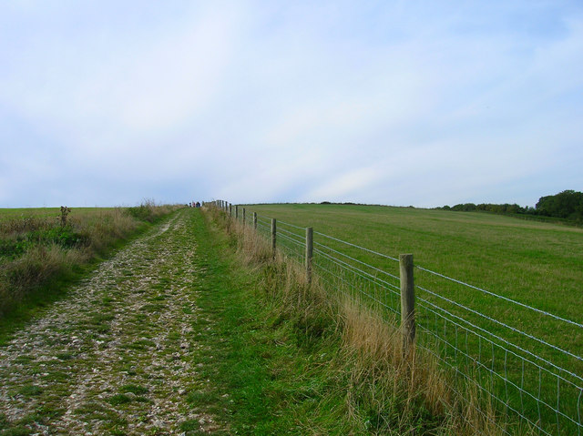
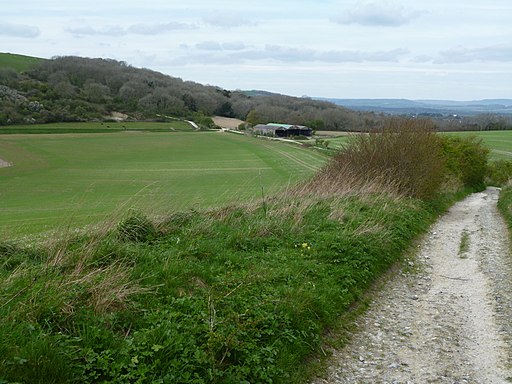
![]() This walk or cycle climbs to Bignor Hill from the village of Amberley in West Sussex. It's a moderate climb of about 3.5 miles, following the South Downs Way for the duration of the route. It's a good path which is also suitable for cycling. If you prefer a shorter walk then you could park at the car park just half a mile west of the hill, and start your climb from there.
This walk or cycle climbs to Bignor Hill from the village of Amberley in West Sussex. It's a moderate climb of about 3.5 miles, following the South Downs Way for the duration of the route. It's a good path which is also suitable for cycling. If you prefer a shorter walk then you could park at the car park just half a mile west of the hill, and start your climb from there.
This route starts off from Amberley train station, following a section of the River Arun out of the village. The waymarked path then heads west, past Coombe Wood before skirting the northern edge of Houghton Forest. You then climb past Bury Hill and Westburton Hill before arriving at the Bignor Hill summit. At over 700ft the hill commands wonderful views over the South Downs to the coast.
To extend the walk you could follow the Monarch's Way south west along the Stane Street Roman Road to visit Eartham Woods. To turn it into a circular route you could head south east into Houghton Forest and return on the woodland trails to the village.
You could also explore the countryside around the village on our Amberley Circular Walk.
Bignor Hill Ordnance Survey Map  - view and print off detailed OS map
Bignor Hill Open Street Map  - view and print off detailed map
Bignor Hill OS Map  - Mobile GPS OS Map with Location tracking
Bignor Hill Open Street Map  - Mobile GPS Map with Location tracking
Pubs/Cafes
The walk passes close to the George & Dragon pub at Houghton. The ancient pub is one of the oldest in Sussex dating all the way back to the 13th century.
It proudly boasts that King Charles II stopped here in 1651 when fleeing the country after his defeat at the Battle of Worcester.
The pub serves good quality food and includes a lovely garden area with views of the Sussex Downs.
You can find them near the start of the walk at Houghton Bridge with a postcode of BN18 9LW for your sat navs.
Dog Walking
The hill and woods make for a fine walk for fit dogs. The George and Dragon mentioned above is also dog friendly.
Cycle Routes and Walking Routes Nearby
Photos
View from Bignor Hill. The featureless flat land to the left are Amberley Wild Brooks which is just beyond the River Arun whose meanders can just be made out. The village of Amberley can be traced by the trees around the centre. The northern esarpment of the South Downs can be followed with both Chanctonbury and Cissbury Rings visible.


