Billinge Hill
![]()
![]() Climb to the highest point on Merseyside and enjoy fantastic views as far as Snowdonia in Wales on this walk in St Helens.
Climb to the highest point on Merseyside and enjoy fantastic views as far as Snowdonia in Wales on this walk in St Helens.
The walk starts in Longshaw where there is a footpath into the woods of the Billinge Plantation, just off Crank Road. Follow the woodland trails south and you will gradually ascend to the hill summit on the other side of the plantation.
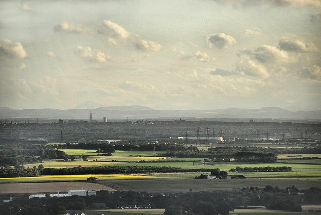
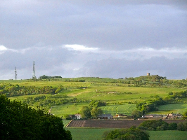
The hill stands at a height of 179 m (587 ft) commanding fine views towards Great Orme in Wales, Blackpool tower, Greater Manchester, Winter Hill and the Derbyshire Peak District. You'll also see a beacon tower at the summit and several large transmitter masts nearby.
After taking in the views the route descends to the woods and returns to the start point.
To extend your walking in the area head north and visit the two reservoirs at the pretty Orrell Water Park.
You could also pick up the Leeds and Liverpool Canal and enjoy an easy towpath stroll on our Wigan Canal Walk. Here you can visit the Wigan Flashes Nature Reserve where there's an abundance of water loving wildlife to see.
Billinge Hill Ordnance Survey Map  - view and print off detailed OS map
Billinge Hill Open Street Map  - view and print off detailed map
Billinge Hill OS Map  - Mobile GPS OS Map with Location tracking
Billinge Hill Open Street Map  - Mobile GPS Map with Location tracking
Further Information and Other Local Ideas
The hill is not far from the lovely Carr Mill Dam. This large lake has some good waterside footpaths and lots of wildlife to see.
The Rainford Walk starts from the village to the west of the site. It visits the hill before heading to the Orrell Water Park. There's a nice pub there for post walk refreshment as well.
On the southern edge of the town there's Sutton Manor Park to explore. The popular park includes the iconic Dream Sculpture which is a local highlight and well worth seeing. There's also a great viewpoint and the adjacent Clock Face Country Park to visit here.
For more walking ideas in the area see the Merseyside Walks page.


