Bledlow Ridge Walks
![]()
![]() This Buckinghamshire based village has some fine country walks into the surrounding Chiltern Hills. There's also a worthy local nature reserve and a fine village pub to investigate.
This Buckinghamshire based village has some fine country walks into the surrounding Chiltern Hills. There's also a worthy local nature reserve and a fine village pub to investigate.
This circular walk from the village visits Bledlow Wood, Chinnor Hill, Radnage and the Yoesden Wood Nature Reserve. There's some lovely rolling hills, peaceful woodland trails and wonderful views from the high points on the trail.
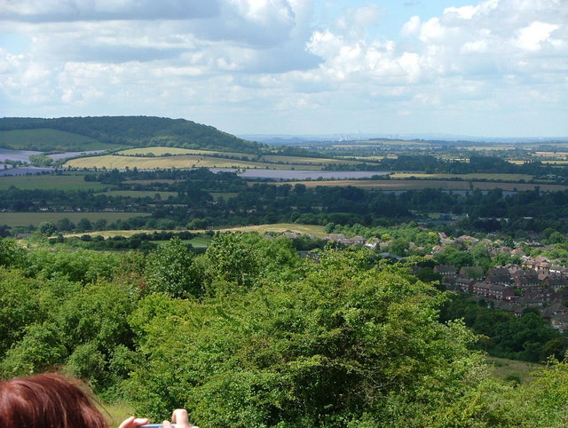
The walk starts in the village and follows footpaths north to Rout's Green and the local farmland. The route then pick up a section of The Ridgeway and follows it to Hempton Wainhill. You then head south past Thickthorne Wood and Bledlow Great Wood before coming to Chinnor Hill. This area is also a nature reserve and provides excellent views over the surrounding area.
The route then follows footpaths past Sunley Wood and Hedgerley Wood before coming to the neighbouring village of Radnage. Here you'll pass Yoesden Wood before returning to Bledlow Ridge.
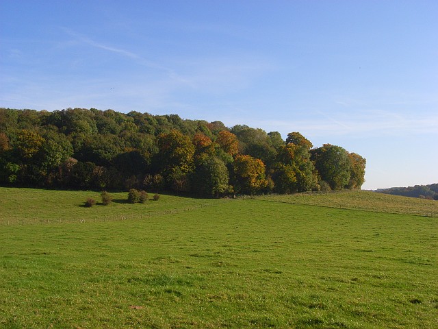
The Yoesden Wood nature reserve is a nice place for a stroll next to the village. There's chalk grassland with rare butterflies and wild flowers and a woodland of beech, yew and whitebeam trees. It's located less than half a mile west of the village at postcode HP14 4AR.
Postcode
HP14 4AZ - Please note: Postcode may be approximate for some rural locationsBledlow Ridge Ordnance Survey Map  - view and print off detailed OS map
Bledlow Ridge Open Street Map  - view and print off detailed map
Bledlow Ridge OS Map  - Mobile GPS OS Map with Location tracking
Bledlow Ridge Open Street Map  - Mobile GPS Map with Location tracking
Pubs/Cafes
Back in the village head to The Boot for some post walk refreshment. The fine local pub dates back to the early 19th century and retains a charming interior. Outside there's a good sized garden area if the sun is shining. You can find them on Chinnor Road with a postcode of HP14 4AW for your sat navs.
Dog Walking
The country and woodland trails on the walk are ideal for dogs. The Boot mentioned above is also dog friendly.
Further Information and Other Local Ideas
The Bledlow Circular Ride is another waymarked circular route in the area. You can pick it up at Rout's Green just to the north of the village.
To the north of the village you can pick up either the Ridgeway or the Icknield Way Path and follow them to nearby Princes Risborough.
To the south east you'll find one of the highlights of the area at the National Trust's West Wycombe Park. Near here you can also pick up the High Wycombe Walk and visit Downley Common, Naphill Common and Hughenden Park.
The epic Midshires Way also starts/ends in Bledlow.
The circular walk from the neighbouring village of Stokenchurch visits the Chinnor Quarry and the Aston Rowant Nature Reserve. The reserve lies just to the south west of the village and has some lovely woodland trails with wildlife such as the rare red kite to see.
For more walking ideas in the area see the Chilterns Walks page.
Cycle Routes and Walking Routes Nearby
Photos
Bledlow Ridge from hill above Slough Bottom Farm The photo was inspired by the wisp of smoke, so seldom a feature of landscapes these days, now that chimneys are hardly used.
Hillside below Bledlow Ridge. Bottom Road can be seen to the right. It's a narrow and winding road. The land here is access land along with a few other areas on the escarpment.


