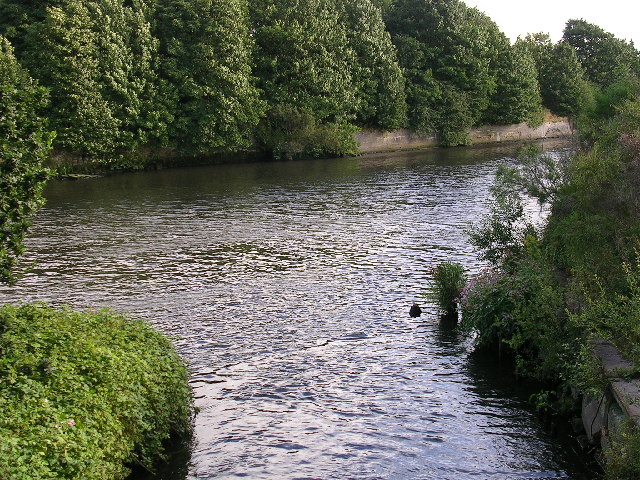
River Bollin Valley Way
![]()
![]() Follow the River Bollin from Macclesfield to Partington on this delightful waterside walk through Greater Manchester and Cheshire.
Follow the River Bollin from Macclesfield to Partington on this delightful waterside walk through Greater Manchester and Cheshire.
The walk starts at the Macclesfield Riverside Park and follows the river through Prestbury, Wilmslow, Hale and Bowdon to Partington on the Manchester Ship Canal.
On the route you will pass the 18th century Grade II listed Mottram Hall and National Trust owned Dunham Massey. This Georgian House is set in a magnificent 121-hectare (300-acre) deer park and boasts Britain's largest winter garden.
As well as the River Bollin there are also views of the Bridgwater Canal and a short final section along the Manchester Ship Canal into Partington.
Bollin Valley Way Ordnance Survey Map  - view and print off detailed OS map
Bollin Valley Way Open Street Map  - view and print off detailed map
*New* - Walks and Cycle Routes Near Me Map - Waymarked Routes and Mountain Bike Trails>>
Bollin Valley Way OS Map  - Mobile GPS OS Map with Location tracking
Bollin Valley Way Open Street Map  - Mobile GPS Map with Location tracking
Pubs/Cafes
In Wilmslow the historic Coach and Four is a nice place for a pit stop. The friendly pub is set in an 18th century coaching house and has a very good menu. There's also a lovely garden area to sit out in if the weather is good. You can find it on Alderley Rd, witha postcode of SK9 1PA for your sat navs.
In Prestbury Ye Olde Admiral Rodney is a historic pub worthy of some investigation. This charming former coaching inn dates back to the 17th century and includes many period features such as low ceilings and panelled walls. You can find them on New Road with postcode SK10 4HP for your sat navs. The pub is also dog friendly if you have your canine friend with you.
The village itself is also worth exploring with several listed timber framed buildings and a picturesque churchyard. Look out for famous faces too as it is one of the most desirable places to live in the north with many celebrities and footballers purchasing expensive properties in the area.
Further Information and Other Local Ideas
The route links with the Cheshire Ring Canal Walk around Dunham Massey. Here you can enjoy another waterside walk along the towpath of the Bridgwater Canal. Similarly there's the Macclesfield Canal Walk to pick up near the start of the route.
For more walking ideas in the area see the Cheshire Walks and Greater Manchester Walks page.
Cycle Routes and Walking Routes Nearby
Photos
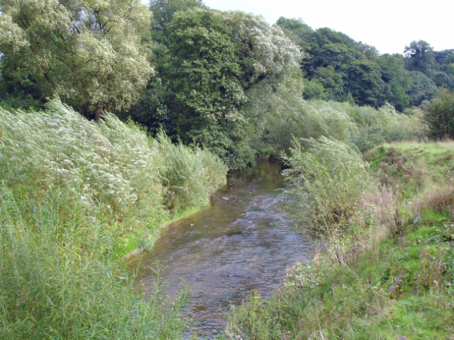
Bollin valley Mobberley/Wilmslow: the valley of the River Bollin, seen from the bridge on the North Cheshire Way beside the tunnel carrying the trail under runway 2 of Manchester airport.
Along the riverbanks, you’ll find a mix of alder, willow, and ash trees, which help stabilise the soil and provide shade to the river. Wetlands and floodplain meadows feature plants like meadowsweet, yellow flag iris, and marsh marigold, which thrive in damp conditions. During spring and summer, woodland sections of the trail are carpeted with bluebells, wild garlic, and primroses, while hedgerows are adorned with hawthorn and blackthorn blossom. Wildflowers such as cow parsley, red campion, and dog violet can also be seen alongside the path, supporting pollinators.
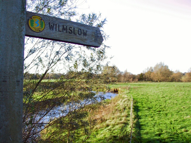
Wilmslow (Styal Country Park) - River Bollin seen from near Kingfisher Bridge (visible just ahead) on the North Cheshire Way in Styal Woods.
The River Bollin and its surrounding habitats attract a variety of wildlife. The river itself is home to brown trout, grayling, and dipper birds, which can often be seen bobbing along the river’s edge. Kingfishers are another highlight, their flashes of blue visible as they dart over the water hunting for fish. Mammals like otters and water voles may occasionally be spotted in quieter sections, while the woodlands provide shelter for badgers, foxes, and various species of bats. Birdlife is abundant, with buzzards, woodpeckers, and nuthatches commonly seen or heard in the trees. Insects such as dragonflies, damselflies, and butterflies like peacock and comma are active near the water and wildflower meadows during warmer months.
River Bollin. The point at which the Bollin Valley Way footpath crosses the road at Mill Farm, whilst the river passes under Mottram Bridge on its way through the valley.
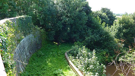
Glaze Brook enters the Manchester Ship Canal. Here, on the border between Cheshire and Salford, the Manchester Ship Canal receives the waters of Glaze Brook (also known as the River Glaze). The Glaze drains a substantial area of mossland hereabouts and was the boundary between the ancient Lancashire Hundreds of West Derby and Salford. This latter fact is recorded on the wall of a bridge near here that carries the A57 road over the Glaze, but as the wall is made of sandstone the lettering is wearing away.This part of the Ship Canal is a canalised section of the River Mersey. The Mersey joined the canal a little way upstream of this point (to the left) and will leave the canal a little further downstream, close to where the River Bollin joins the canal.
Elevation Profile

