Bracklinn Falls Walk
![]()
![]() Enjoy a walk around this popular beauty spot in Callander in the Loch Lomond and the Trossachs National Park. These wonderful steep falls are set in a beautiful wooded gorge on Keltie Water, just a short walk from the town of Callander.
Enjoy a walk around this popular beauty spot in Callander in the Loch Lomond and the Trossachs National Park. These wonderful steep falls are set in a beautiful wooded gorge on Keltie Water, just a short walk from the town of Callander.
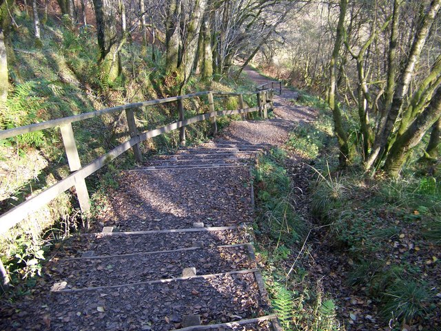
The walk starts at the car park near the falls and follows a good path through woodland to Bracklinn Falls Bridge where there are great views of the foaming river. You continue on the woodland trails on the eastern side of the river before crossing a bridge and following a country lane back to the car park. There's great views of the surrounding Stirlingshire countryside and hills for much of the walk too.
To continue your walking in the Callander area head west along the Garbh Uisge River to Loch Lubnaig.
Postcode
G83 8EG - Please note: Postcode may be approximate for some rural locationsBracklinn Falls and Callander Crags Ordnance Survey Map  - view and print off detailed OS map
Bracklinn Falls and Callander Crags Open Street Map  - view and print off detailed map
*New* - Walks and Cycle Routes Near Me Map - Waymarked Routes and Mountain Bike Trails>>
Bracklinn Falls and Callander Crags OS Map  - Mobile GPS OS Map with Location tracking
Bracklinn Falls and Callander Crags Open Street Map  - Mobile GPS Map with Location tracking
Further Information and Other Local Ideas
Head north to Loch Earn and you can follow the Glen Ogle trail to nearby Loch Tay.
To the north east there's the lovely Glen Turret and Loch Turret. There's a fine circular walk around this remote loch visiting Ben Chonzie mountain.
For more walking ideas in the area see the Loch Lomond and the Trossachs Walks page.
Cycle Routes and Walking Routes Nearby
Photos
Bracklinn Falls. This photo shows the erosion heading down the right hand side. This has already cut back through the rock by 10 feet. This process will continue till it cuts back into the bowl the has been cut by the preceding waterfall. This will weaken the slab enough for high water pressure to collapse the slab. Although a large flood could pull off the slab at any time.
Bridgend from Callander Crags. Lying south of the bridge, this is the oldest part of Callander. The long and narrow burgage plots are seen running away at right angles from the street. The newer, planned gridiron, part of the village is north of the river ie bottom edge of the photograph. Also visible at this edge is the small hill, Tom na Kessog, which may have been built as a Norman motte.
Callander Crags. The crags are mostly wooded - beech, birch, larch, oak, pine and rowan are common on this hill. There is a small open area covered by heather and rocky outcrops which offers views over the large village of Callander below.
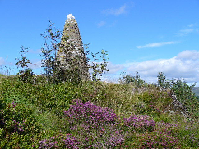
Queen Victoria Diamond Jubilee Cairn, Callander. The cairn sits on Cnoc Dubh (the "Black Rock"), north-east of Callander Crags. Vegetation is blaeberries, heather and scattered trees such as rowan and there are good views in all directions. The original cairn was built in 1897, Malcolm Ferguson was prominent in its construction. The cairn eventually collapsed but was re-erected, together with original inscribed, polished granite plaque, by the Callander Round Table in 1997. Note the white quartz top to the pyramidal cairn.


