Glen Ogle Walk
![]()
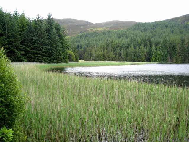
![]() This lovely cycling and walking trail takes you along National Cycle Route 7 through the beautiful Glen Ogle. The route runs for about 8 miles along a traffic free path following the course of the former Callander and Oban Railway from Killin to Loch Earn. There's a moderate climb in the first half of the route before descending to the loch. On the way you'll enjoy views of the Ogle Burn and the pretty Lochan Lairig Chaile.
This lovely cycling and walking trail takes you along National Cycle Route 7 through the beautiful Glen Ogle. The route runs for about 8 miles along a traffic free path following the course of the former Callander and Oban Railway from Killin to Loch Earn. There's a moderate climb in the first half of the route before descending to the loch. On the way you'll enjoy views of the Ogle Burn and the pretty Lochan Lairig Chaile.
The route starts on the Bridge of Dochart in the village of Killin, situated at the western head of Loch Tay in Stirling. The village is home to the wonderful Falls of Dochart, a major scenic highlight of the area. From here you can pick up the railway trail heading south west into the woodland of the glen. The trail takes you south, passing the still waters of Lochan Leirig Chaile to Lochearnhead at the foot of Glen Ogle.
You can extend the ride by continuing along the traffic free trail to Auchtubh and Balquhidder on the Killin to Callander Cycle Route. Here you can also enjoy a walk or cycle along Loch Voil and Loch Doine, to the west of the village.
Glen Ogle Ordnance Survey Map  - view and print off detailed OS map
Glen Ogle Open Street Map  - view and print off detailed map
Glen Ogle OS Map  - Mobile GPS OS Map with Location tracking
Glen Ogle Open Street Map  - Mobile GPS Map with Location tracking
Further Information and Other Local Ideas
To the east is the lovely Glen Turret and Loch Turret. There's a fine circular walk around this remote loch visiting Ben Chonzie mountain.
At the eastern end of Loch Earn you could pick up the St Fillans to Comrie Railway Walk.. You can see the remarkably well preserved station buildings in St Fillans here as well. In Comrie you can also visit the splendid Deil's Cauldron. Here you'll find a cascading waterfall and several pools resembling a boiling cauldron.
For more walking ideas in the area see the Loch Lomond and the Trossachs Walks page.


