Braithwaite Walks
![]()
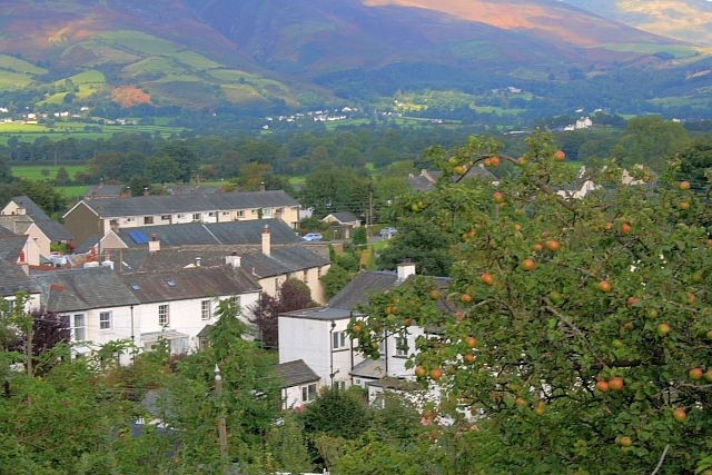
![]() The Cumbrian village of Braithwaite is in a great location for exploring the northern lakes. There's nice waterside walks along the Newlands Beck, the Coledale Beck and the nearby Derwent Water. You're also very close to the expansive Whinlatter Forest Park which has miles of woodland trails to try.
The Cumbrian village of Braithwaite is in a great location for exploring the northern lakes. There's nice waterside walks along the Newlands Beck, the Coledale Beck and the nearby Derwent Water. You're also very close to the expansive Whinlatter Forest Park which has miles of woodland trails to try.
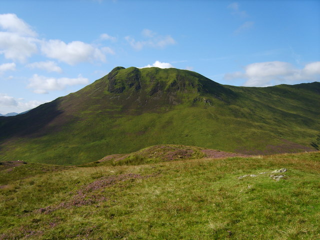
This circular walk takes you south of the village to climb Barrow Fell for splendid views over the area. It's a moderate 3 mile hike with a nice ridge path in a quiet and picturesque area of the Lake District.
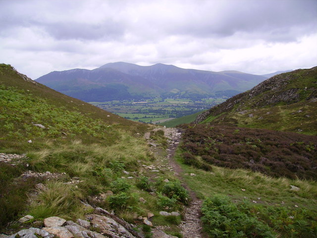
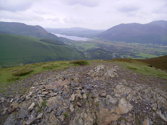
You start off in the village and pick up footpaths heading south along Barrow Gill to High Coledale. The route then climbs to Stile End and Barrow Door where you turn east toward Barrow which reaches a height of 455 metres (1,494 feet). From here there's lovely views over the Newlands Valley and Derwent Water. It's a splendid spot with the heather topped summit providing particularly great views considering the modest height of the fell.
After taking in the views the route then descends back to the village via Braithwaite Lodge. Back in Braithwaite you can enjoy refreshments at one of the local pubs which include the Coledale Inn, the Royal Oak and the Middle Ruddings Hotel.
You can extend the walk by continuing up to Outerside from Stile End and then heading round to Causey Pike.
Just to the west of the village there's nice trails along the Coledale Beck and the climb to Grisedale Pike. The village is located in the splendid Newlands Valley where you can visit the noteworthy Newlands Chapel. The 16th-century church has stained glass windows and a pulpit dated 1610.
Head a little to the east of the village and you can pick up the long distance Cumbria Way at Portinscale and enjoy a climb to the ever popular Catbells.
Postcode
CA12 5SY - Please note: Postcode may be approximate for some rural locationsBraithwaite Ordnance Survey Map  - view and print off detailed OS map
Braithwaite Open Street Map  - view and print off detailed map
Braithwaite OS Map  - Mobile GPS OS Map with Location tracking
Braithwaite Open Street Map  - Mobile GPS Map with Location tracking
Walks near Braithwaite
- Newlands Valley - Enjoy a challenging circular walk around this beautiful, peaceful valley near Keswick
- Whinlatter Forest Park - Enjoy some fantastic walking and cycling trails in this huge park in the Lake District
- Catbells - Catbells is one of the most popular climbs in the Lake District
- Derwent Water - Enjoy a walk along one of the Lake District's most beautiful lakes
- Keswick Circular Walk - This circular walk from the popular town of Keswick takes you to some of the highlights of this beautiful area of the North Lakes
- Grisedale Pike - Climb to this striking fell on this challenging walk near Keswick
- Cumbria Way - Travel through the beautiful Lake District National Park on this stunning walk
- Coledale Horseshoe - This popular circular walk explores Coledale, a spectacular hanging valley in the Lake District
- Force Crag Mine - This walk visits the historic Force Crag Mine from the Cumbrian village of Braithwaite.
Pubs/Cafes
After your walk you could enjoy some rest and refreshment at the Royal Oak. It's cosy and comfortable inside with log fires and oak beams. They serve good food and have a fine selection of ales too. You can find them at postcode CA12 5SY for your sat navs.
Further Information and Other Local Ideas
The Coledale Horseshoe starts from the village. The route explores the wonderful valley, climbing to several of the significant local peaks. The route also passes close to Force Crag Mine. The Scheduled ancient monument dates back to the 1800s and is now run by the National Trust. It's an interesting place to visit with information boards detailing the mine's history and some pleasant walks along the Coledale Beck.


