Whinlatter Forest Park Walking and Cycling
![]()
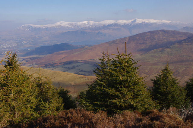
![]() Enjoy some fantastic walking and cycling trails in this huge park in the Lake District. There are fantastic views of Bassenthwaite Lake, Derwent Water and Keswick as you make your way through the mixed species forest and peaceful glades. The park also has two fantastic purpose built mountain bike trails with cycle hire available within the park. The red graded Altura Trail is a challenging 19 km mountain singletrack, the Quercus Trail is an easier 7.5 km trail. The C2C cycle route also runs through the park so you could continue your ride on the Whitehaven to Keswick or Whitehaven to Penrith cycle route.
Enjoy some fantastic walking and cycling trails in this huge park in the Lake District. There are fantastic views of Bassenthwaite Lake, Derwent Water and Keswick as you make your way through the mixed species forest and peaceful glades. The park also has two fantastic purpose built mountain bike trails with cycle hire available within the park. The red graded Altura Trail is a challenging 19 km mountain singletrack, the Quercus Trail is an easier 7.5 km trail. The C2C cycle route also runs through the park so you could continue your ride on the Whitehaven to Keswick or Whitehaven to Penrith cycle route.
Walkers can head south of the park and enjoy a climb to Grisedale Pike.
It's a popular and challenging climb with wonderful views to the Cumbrian coast, the Vale of Keswick, the Pennines and the head of Derwentwater. On a very clear day you can even see the Belfast Hills and the Southern Uplands of Scotland.
Please click here for more information
Whinlatter Forest Park Ordnance Survey Map  - view and print off detailed OS map
Whinlatter Forest Park Open Street Map  - view and print off detailed map
Whinlatter Forest Park OS Map  - Mobile GPS OS Map with Location tracking
Whinlatter Forest Park Open Street Map  - Mobile GPS Map with Location tracking
Further Information and Other Local Ideas
Just to the south you can pick up the Coledale Horseshoe. The popular circular walk starts from the village of Braithwaite, exploring the wonderful hanging valley and visiting several of the area's significant peaks on the way. The route also passes close to Force Crag Mine. The Scheduled ancient monument dates back to the 1800s and is now run by the National Trust. It's an interesting place to visit with information boards detailing the mine's history and some pleasant walks along the Coledale Beck.
Cycle Routes and Walking Routes Nearby
Photos
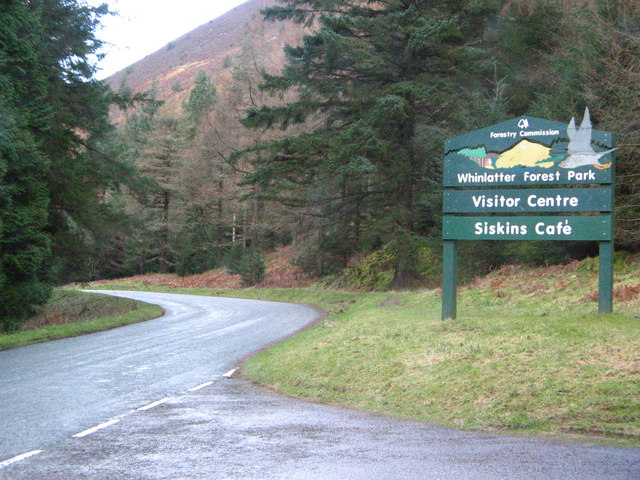
Forest trail, Whinlatter Forest. Whinlatter Forest has been developed as a major tourist resource, with a number of waymarked trails, such as the one here seen leaving the main B5292 road.
Whinlatter Visitor Centre. Whinlatter Forest, whilst still a working plantation, has many kms of tracks, paths marked out for recreational use. The Visitor Centre contains an interpretative display and has interactive activities. as well as the usual tourist sales and services.
Hospital Plantation View from the summit of the south loop of the Whinlatter Forest mountain bike trail, on Hospital Fell. Between the conifers is the grassy ridge of Kinn. In the middle distance are (from the left) Swinside (NY2422), Derwentwater and Barrow (NY2221). In the far distance is the snowy Helvellyn ridge.


