Bridgewater Canal Way Walk
![]()
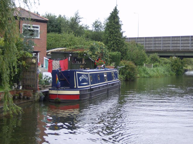
![]() A walk along the Bridgewater canal, through Cheshire, Greater Manchester and on into Lancashire. The route passes Salford, Trafford, Altrincham, Manchester, Warrington and Halton.
A walk along the Bridgewater canal, through Cheshire, Greater Manchester and on into Lancashire. The route passes Salford, Trafford, Altrincham, Manchester, Warrington and Halton.
Along the way you'll pass a series of nice parks including Dunham Massey, Worsley Woods and Sale Water Park.
The path also forms part of the longer Cheshire Ring Canal Walk which follows six historic canals through Cheshire, Greater Manchester and Staffordshire.
Cyclists can also enjoy the route.
Please click here for more information
Bridgewater Canal Way Ordnance Survey Map  - view and print off detailed OS map
Bridgewater Canal Way Open Street Map  - view and print off detailed map
*New* - Walks and Cycle Routes Near Me Map - Waymarked Routes and Mountain Bike Trails>>
Bridgewater Canal Way OS Map  - Mobile GPS OS Map with Location tracking
Bridgewater Canal Way Open Street Map  - Mobile GPS Map with Location tracking
Pubs/Cafes
On the route there's lots of good options for a pit stop. In Lymm you could stop off at the Golden Fleece which has a large canalside beer garden. It's a lovely place to sit and watch the boats go by on a summer day. You can find them at a postcode of WA13 0HR.
In Warrington The Barn Owl Inn also has a garden right on the banks of the canal. The dog friendly pub can be found at postcode WA13 0SW for your sat navs.
Further Information and Other Local Ideas
Near Runcorn you'll find the worthy village of Daresbury. The village is notable as the birthplace of of Alice's Adventures in Wonderland author Lewis Carroll who was born there in 1832. It includes the Lewis Carroll visitor centre where you can learn all about his life and try the 'Lewis Carroll's Boyhood Walk' which runs from Daresbury church to the site of the parsonage, passing through fields and lanes that the young Carroll would have known. It's well worth taking a small detour east from the canal to explore the village.
Cycle Routes and Walking Routes Nearby
Photos
A view to the southeast from the East Lancashire Road. Beyond the canal, on the horizon, the buildings of Manchester city centre can just be made out. .
Elevation Profile


