Brighouse to Mirfield Canal Walk
![]()
![]() This walk runs from Brighouse to Mirfield along a section of the Calder and Hebble Navigation Canal and the River Calder. The walk runs for just under 5 miles and follows the canal towpath or riverside footpaths for most of the route. Along the way you'll pass lots of pretty locks, old bridges and barges.
This walk runs from Brighouse to Mirfield along a section of the Calder and Hebble Navigation Canal and the River Calder. The walk runs for just under 5 miles and follows the canal towpath or riverside footpaths for most of the route. Along the way you'll pass lots of pretty locks, old bridges and barges.
Start the walk in Brighouse on the southern side of the river and head east through Birds Royd and Woodhouse where you follow the canal towpath past Bradley Park and the Kirklees Cut. Here there's a pretty lock and lockeepers hut.
The route then follows a section of the Kirklees Way through Bradley before rejoining the canal to Battyeford. You continue along the towpath for a short while before arriving in Mirfield.
Brighouse to Mirfield Canal Walk Ordnance Survey Map  - view and print off detailed OS map
Brighouse to Mirfield Canal Walk Open Street Map  - view and print off detailed map
Brighouse to Mirfield Canal Walk OS Map  - Mobile GPS OS Map with Location tracking
Brighouse to Mirfield Canal Walk Open Street Map  - Mobile GPS Map with Location tracking
Pubs/Cafes
The Navigation Tavern is located at the end of the walk in Mirfield. It's right on the canal so you can enjoy your refreshments with a nice view of the boats going by. You can find the pub at 6 Station Road with a postcode of WF14 8NL for your sat navs.
Further Information and Other Local Ideas
To continue your walking in the area pick up the waymarked Brighouse Boundary Walk. This circular trail explores the countryside and villages surrounding the town.
The Huddersfield Broad Canal runs through the area providing another easy waterside walk. The canal is also crossed by the Calder Valley Greenway. This shared cycling and walking trail follows the route of the old Midland Railway from Huddersfield to Dewsbury.
Cycle Routes and Walking Routes Nearby
Photos
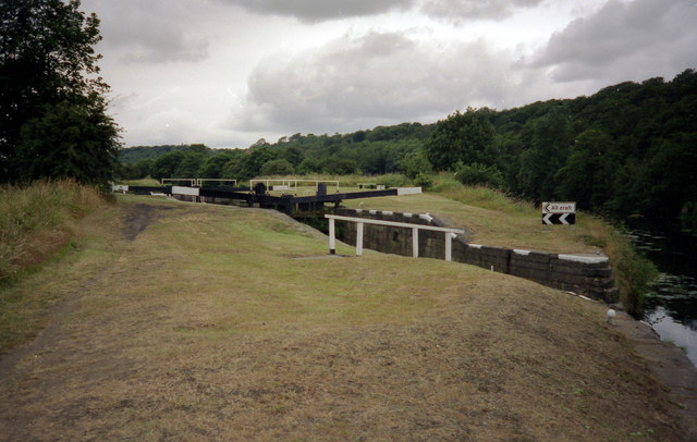
Canal Lock, Kirklees Cut, Rastrick. The Calder and Hebble Navigation was constructed to use navigable stretches of riverwhere possible, but canal 'cuts' were often necessary to bypass mills and their weirs, in this case the old corn mill at Clifton (now a pub/restaurant).
Bridge over Battyeford Cut, Calder and Hebble Navigation. This bridge carried Wood Lane, a local road.
Wheatley's Bridge, Mirfield. Named after Thomas Wheatley, as it carried the driveway to his house, Cote Walls. However the bridge is shown on the township map of 1819, when it was on a field access track following the watercourse down from Huddersfield Road. The driveway must have been constructed between then and 1850, or probably before 1840 when the Leeds and Manchester Railway was constructed. The bridge crosses the Shepley Bridge Cut, which opened in 1776.
Calder and Hebble canal at Mirfield. Taken from the car park of Lidl Supermarket showing activity on the canal, the Navigation pub is in the background.
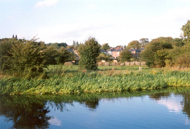
Horse's field, Mirfield. This field lies across the main watercourse, surprisingly un-named, that drains Mirfield. It is culverted across the field and has been intercepted by the canal. The culvert outfall is under water and cannot be seen. The fields are dotted with hawthorn trees. The trees on the right are on the embankment for the former driveway to Cote Wall.


