Calder and Hebble Navigation Canal
![]()
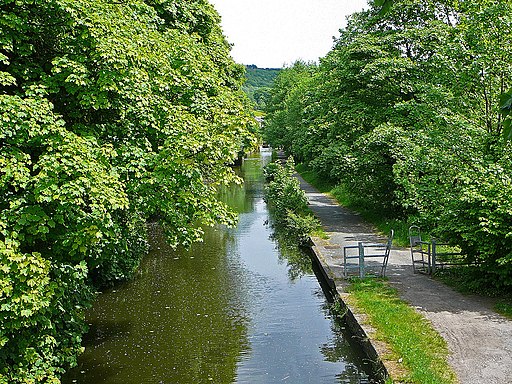
![]() This section of the Calder and Hebble Navigation Canal runs along National Cycle Route 66 from Sowerby Bridge to Brighouse. It's a nice easy, traffic free ride along the towpath with some lovely views of the Calder Valley countryside and the River Calder. Walkers can also enjoy this section of the canal.
This section of the Calder and Hebble Navigation Canal runs along National Cycle Route 66 from Sowerby Bridge to Brighouse. It's a nice easy, traffic free ride along the towpath with some lovely views of the Calder Valley countryside and the River Calder. Walkers can also enjoy this section of the canal.
The route starts in Sowerby Bridge and heads to Copley. Just after Copley you have the option of heading north along the Halifax arm into Halifax. This route continues to Elland, where you'll pass Elland Park Wood where there are some nice woodland trails. The final section takes you into Brighouse passing Brookfoot Ski Lake on the way.
The Rochdale Canal also passes through Sowerby Bridge so you can pick this up to continue your exercise. It heads to the popular town of Hebden Bridge in the Upper Calder Valley.
It also passes through the neigbouring village of Mytholmroyd with some cycling sections along National Cycle Route 66.
Calder and Hebble Navigation Canal Ordnance Survey Map  - view and print off detailed OS map
Calder and Hebble Navigation Canal Open Street Map  - view and print off detailed map
Calder and Hebble Navigation Canal OS Map  - Mobile GPS OS Map with Location tracking
Calder and Hebble Navigation Canal Open Street Map  - Mobile GPS Map with Location tracking
Pubs/Cafes
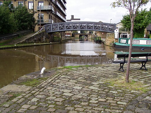
The Millers Bar is a great place to stop for refreshments at the end of the route in Brighouse. There's a good menu and a lovely canalside beer garden to relax in on warmer days. From the garden you can also watch as climbers dare to risk the UKs tallest outdoor climbing wall, ROKTFACE which is located right next to the pub. It's a fine, award winning place and can be found at a postcode of HD6 1EB for your sat navs.
Dog Walking
The canal towpath is a nice place to walk your dog and the Millers Bar mentioned above is also dog friendly.
Further Information and Other Local Ideas
You could extend the walk by continuing onto Mirfield via Bradley Park and the Kirklees Cut. This section mostly follows the canal and the River Calder. See the Brighouse to Mirfield Canal Walk for full details.
In Halifax a detour to visit the lovely Shibden Park is recommended. The popular park has miles of trails with woodland, lakes, gardens and water features to enjoy. From here you can also explore the lovely hills and countryside of the Shibden Valley and Shibden Dale.
Cycle Routes and Walking Routes Nearby
Photos
Narrow Boat on the Calder & Hebble Navigation at Elland Park Wood The photo is taken at the back of the Colliers' Arms Public House. The canal was built in 1770 by John Smeaton, founder of the Society of Civil Engineers, later to become the Institution of Civil Engineers.The canal is a 'broad' canal, although most present-day craft are narrow boats such as the one in the picture.


