Brough Walks - Castle and Beck
![]()
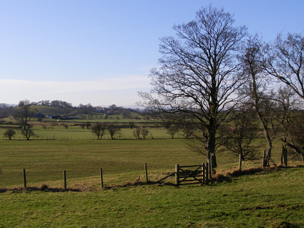
![]() This Cumbrian town includes a historic castle, waterside trails along the Swindale Beck and some lovely Eden countryside scenery.
This Cumbrian town includes a historic castle, waterside trails along the Swindale Beck and some lovely Eden countryside scenery.
This circular walk starts at the ruined castle in the town. The Castle dates back to the 11th century and is now in the care of English Heritage. Nearby there's the Norman St Michael's church where you can learn all about the history of the site.
After exploring the grounds you can then follow bridle tracks west past the Verteris Roman Fort towards Great Musgrave. Here you cross the Swindale Beck and follow the Musgrave Lane back east towards the village.
Postcode
CA17 4EJ - Please note: Postcode may be approximate for some rural locationsBrough Ordnance Survey Map  - view and print off detailed OS map
Brough Open Street Map  - view and print off detailed map
Brough OS Map  - Mobile GPS OS Map with Location tracking
Brough Open Street Map  - Mobile GPS Map with Location tracking
Walks near Brough
- Kirkby Stephen River Circular - This circular walk takes you along a section of the Pennine Journey long distance trail before returning along the River Eden.
The small market town of Kirkby Stephen is located in Cumbria, near the border of the Yorkshire Dales National Park - Nine Standards Rigg - Enjoy wonderful views over the Eden Valley on this climb to the summit of Hartley Fell in the North Pennines AONB
- Pennine Bridleway - This fabulous 120 mile long trail runs through the beautiful Derbyshire Peak District, through Lancashire and on into Yorkshire.
It is suitable for mountain bikers, horse riders and walkers taking you on a tour through some of the most beautiful parts of the country - Wild Boar Fell - This circular walk climbs Wild Boar Fell in the Mallerstang area of the Yorkshire Dales National Park
- Ravenstonedale - There are lots of nice walks to try around the pretty Cumbrian village of Ravenstonedale
- Smardale Gill Viadiuct - This walk takes you through the pretty Smardale Gill along the trackbed of a disused railway line
- Mallerstang - This circular walk explores the Mallerstang area of Cumbria
- Pendragon Castle - This walk visits the ruins of the ancient Pendragon Castle in Mallerstang Dale, Cumbria
- Newbiggin On Lune - This Cumbrian village is located just north west of Ravenstonedale in the Eden district of the county.
- Sunbiggin Tarn - This walk visits the picturesque Sunbiggin Tarn in Cumbria.
Pubs/Cafes
Brough Castle Ice Cream Parlour and Tearoom can be found right next to the castle. It's a nice place for a rest and some refreshments after your exercise.
Further Information and Other Local Ideas
Head south west and you can explore the pleasant market town of Kirkby Stephen and enjoy a walk along the River Eden.
For more walking ideas in the area see the Howgills Walks and the Cumbria Walks pages.
Photos
Brough Castle.Like many other castles in the area, 11th century Brough was restored in the 17th century by Lady Anne Clifford. St Michael's Parish Church, in nearby Church Brough, displays an exhibition about the region.


