Walks near Callington
![]()
![]() This Cornish town has some fine local hill climbs and riverside walks to try. To the north there's the Kit Hill, a country park with some great views over the Tamar Valley. Another local walking highlight is the splendid Cotehele House. The Tudor house has nice footpaths taking you around the extensive grounds.
This Cornish town has some fine local hill climbs and riverside walks to try. To the north there's the Kit Hill, a country park with some great views over the Tamar Valley. Another local walking highlight is the splendid Cotehele House. The Tudor house has nice footpaths taking you around the extensive grounds.
This walk from the village takes you to Cadson Bury Hill Fort. The ancient fort lies just to the south of the town and commands some fine views over the area.
The route starts in the town and heads south to Pencrebar and Newbridge where you can follow a footpath up to the hill top. There's an Iron Age Hill fort here with excellent views over the countryside of the River Lynher Valley below.
Callington Ordnance Survey Map  - view and print off detailed OS map
Callington Open Street Map  - view and print off detailed map
*New* - Walks and Cycle Routes Near Me Map - Waymarked Routes and Mountain Bike Trails>>
Callington OS Map  - Mobile GPS OS Map with Location tracking
Callington Open Street Map  - Mobile GPS Map with Location tracking
Walks near Callington
- Kit Hill - This country park in Cornwall covers 400 acres with miles of good footpaths to try
- Cotehele House - This walk explores the beautiful grounds of a Tudor house near Saltash, before heading to the nearby village of Calstock
- Tamar Valley Discovery Trail - This beautiful trail takes you through the Tamar Valley AONB from Tamerton Foliot in Devon to Launceston in Cornwall
- Gunnislake - This pretty little Cornish village sits close to the Devon Border, next to the River Tamar in the Tamar Valley AONB.
- Tamar Estuary - Explore the Tamar Estuary Nature Reserve on this short walk near Saltash
- Minions Cheesewring - This circular walk visits the Cheesewring granite tor and the Hurlers stone circle from the Cornish village of Minions.
- Siblyback Lake - Enjoy a walk or cycle on the new waterside path around this beautiful lake and country park in Cornwall
- Liskeard - This interesting market town is located in the south eastern part of Cornwall
- Golitha Falls - Golitha Falls National Nature Reserve has woodland walking trails taking you through a steep-sided valley gorge
Photos
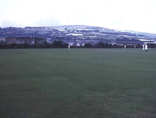
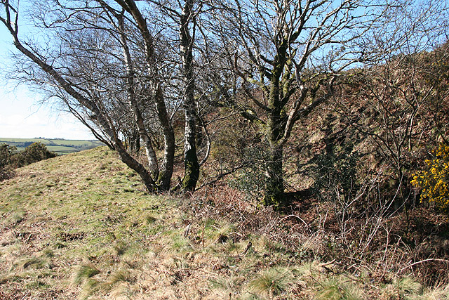
Cadson Bury Fort. This high hill on the Lynher Valley is topped by an Iron Age Hill Fort. The view is from the roadside near Lower Crift, just over a kilometre south of the fort.


