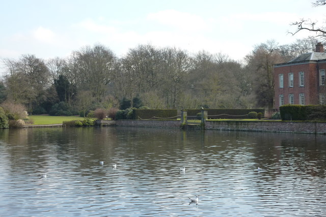
Canal Walk Lymm to Dunham Massey
4 miles (6.4 km)
![]()
![]() This easy walk takes you along the Bridgewater Canal from Lymm to Dunham Massey. It's about a 4 mile walk from the town to the house, passing along a pleasant section of the canal towpath.
This easy walk takes you along the Bridgewater Canal from Lymm to Dunham Massey. It's about a 4 mile walk from the town to the house, passing along a pleasant section of the canal towpath.
The walk starts on the canal in the town centre, just north of the Lymm Dam. From here you head east through Oughtrington, Spud Wood and Little Bollington before arriving at the park. Dunham is one of the highlights of the area with a large deer park, lakes, a 17th century mill and beautiful gardens. You could extend the walk by heading south from the park to visit the picturesque Rostherne Mere and the expansive Tatton Park.
Canal Walk Lymm to Dunham Massey Ordnance Survey Map  - view and print off detailed OS map
Canal Walk Lymm to Dunham Massey Open Street Map  - view and print off detailed map
Canal Walk Lymm to Dunham Massey OS Map  - Mobile GPS OS Map with Location tracking
Canal Walk Lymm to Dunham Massey Open Street Map  - Mobile GPS Map with Location tracking
Further Information and Other Local Ideas
For more walking ideas in the area see the Cheshire Walks page.


