Canvey Island
![]()
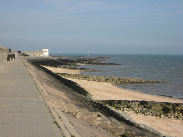
![]() Enjoy a waterside walk along the Thames Estuary on this route on Canvey Island in Essex. You can follow coastal footpaths for several miles along the estuary. There's lots to see with several bays, beaches, creeks, lagoons, marshland and an abundance of wildlife. There's also great views across the water to Hadleigh Country Park and its castle.
Enjoy a waterside walk along the Thames Estuary on this route on Canvey Island in Essex. You can follow coastal footpaths for several miles along the estuary. There's lots to see with several bays, beaches, creeks, lagoons, marshland and an abundance of wildlife. There's also great views across the water to Hadleigh Country Park and its castle.
To extend your walking in the area you could cross the bridge over Benfleet Creek and visit Hadleigh Country Park in Castle Point. The 400 acre park has a number of good walking trails taking you to woodland, pasture, hay meadow, marsh and the ruins of the 13th century castle. The woodland trails and nature discovery centre at Belfairs Woods are very near to the park too.
Also just across the water near Southend you will find the splendid Two Tree Island nature reserve. Here you will find nice footpaths taking you around grassland, scrub, reedbed and lagoons.


