Castell Dinas Bran Walk from Llangollen
![]()
![]() This walk visits the atmospheric ruins of a medieval castle from the attractive north Wales town of Llangollen.
This walk visits the atmospheric ruins of a medieval castle from the attractive north Wales town of Llangollen.
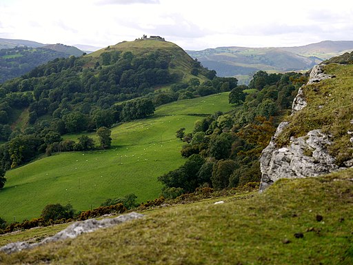
The 13th century castle is about a 1 mile climb from the town centre, rising to a height of over 1000ft. From this elevated position there are stunning views over the surrounding mountains and hills of North Wales.
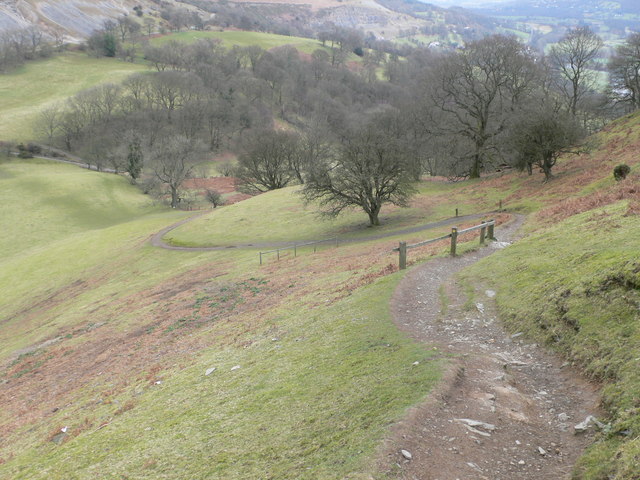
Start the walk from the canal in Llangollen, near to the train station. You can then follow paths north up to the site. It's quite a challenging climb but there are good paths and the reward of splendid views over the Dee Valley.
The castle was probably built in the 1260s by Gruffydd Maelor II, a Prince of Powys Fadog, on the site of an Iron Age hillfort. The Great Hall is sited on the castle's southern side, where some of the more visible remains can be seen. It's a very photogenic spot with the ruins surrounded by some breathtaking scenery.
Footpaths run along the northern side of the castle allowing you to complete a circuit of the hill before descending back into the town.
The Offa's Dyke Path long distance trail runs past the eastern side of the castle. You can pick this up to extend your walking in the area.
You can also pick up the towpath of the Llangollen Canal and head east through the lovely Vale of Llangollen.
A visit to World's End is also recommended. The stunning gorge includes pretty streams, little waterfalls and attractive woodland.


