Dee Valley Way
![]()
![]() This walk follows the Dee Valley Way from Corwen to Llangollen in Denbighshire, North Wales.
This walk follows the Dee Valley Way from Corwen to Llangollen in Denbighshire, North Wales.
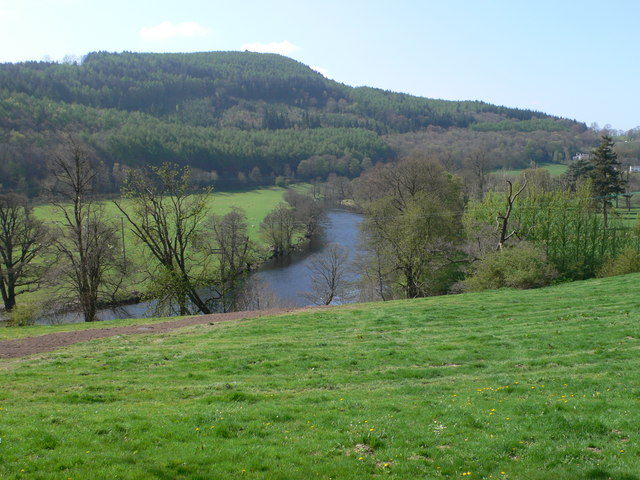
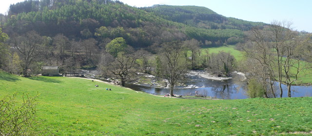
The route runs for about 15 miles with some fairly challenging climbs on the way. It's a beautiful area with rolling countryside, ancient stone bridges over the water, historic villages and some pleasant waterside stretches.
You start off in the town of Corwen and head north, crossing the river on Corwen Bridge to climb to Caer Drewyn where there are some wonderful views over the valley from the ancient hillfort.
Head east and the trail will take you to Carrog before climbing to Mynydd Bychan. You continue east to Rhewl and then turn south to link up with the river around Horseshoe Falls. The final section follows the river into Llangollen, passing the historic Valle Crucis Abbey on the way.
In Llangollen you can continue your waterside walking by picking up the Llangollen Canal or the Llangollen Round.
Dee Valley Way Ordnance Survey Map  - view and print off detailed OS map
Dee Valley Way Open Street Map  - view and print off detailed map
Dee Valley Way OS Map  - Mobile GPS OS Map with Location tracking
Dee Valley Way Open Street Map  - Mobile GPS Map with Location tracking
Pubs/Cafes
At the start/finish point in Corwen the Crown Hotel is worthy of some investigation. The historic inn dates all the way back to 1628. The interior is full of olde worlde character with interesting features including pewter tankards hanging from the ceiling. They serve good food and are designated as a Camra Welsh Heritage pub. There's also a snooker table upstairs. You can find them on Bridge Street at postcode LL21 0AH.
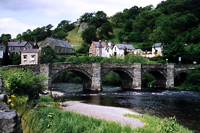
In Carrog there's The Grouse Inn to consider. The 19th century inn is in a great location overlooking the river and the ancient stone bridge of five arches. Built in 1660, the bridge connects Carrog's caravan site and railway station to the farming and village community. They serve delicious home cooked food and have a lovely outdoor terrace with views of the surrounding countryside. You can find them at postcode LL21 9AT for your sat navs.


