Castleton Circular Walk - Mam Tor -Winnats Pass - Lose Hill
![]()
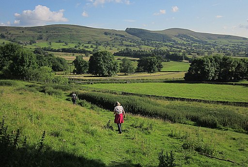
![]() This challenging circular walk explores the hills and countryside surrounding the Derbyshire village of Castleton. You'll climb to the popular hills of Mam Tor, Hollins Cross and Lose Hill with spectacular views over the surrounding Peak District countryside. It's about a six mile walk with the route climbing to a height of over 1600ft at the high points.
This challenging circular walk explores the hills and countryside surrounding the Derbyshire village of Castleton. You'll climb to the popular hills of Mam Tor, Hollins Cross and Lose Hill with spectacular views over the surrounding Peak District countryside. It's about a six mile walk with the route climbing to a height of over 1600ft at the high points.
You start from the popular village of Castleton in the Hope Valley. It's a great base for walkers wishing to explore this fantastic area of the Peak District. The route heads west out of the village across Winnats Pass with its towering limestone pinnacles and series of show caves.
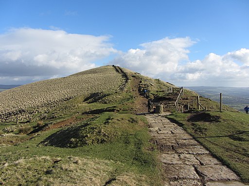
The route then climbs to the 517 m (1,696 ft) summit of Mam Tor. The hill is geologically fascinating with 320 million year old Carboniferous rocks. From the summit there are fine views towards Manchester city centre, Stockport, Winter Hill and the Edale Valley.
From Mam Tor the route descends to the smaller Hollins Cross hill before climbing to Back Tor and Lose Hill. From the 476 m (1,562 ft) Lose Hill summit you then descend back to Castleton on a series of footpaths and country lanes.
To extend your walk you can head north west from Hollins Cross to Edale where you can climb the fabulous Kinder Scout. Just follow our Edale to Castleton Walk to reach Edale via Hollins Cross.
Castleton Circular Walk Ordnance Survey Map  - view and print off detailed OS map
Castleton Circular Walk Open Street Map  - view and print off detailed map
*New* - Walks and Cycle Routes Near Me Map - Waymarked Routes and Mountain Bike Trails>>
Castleton Circular Walk OS Map  - Mobile GPS OS Map with Location tracking
Castleton Circular Walk Open Street Map  - Mobile GPS Map with Location tracking
Pubs/Cafes
After your walk head to Ye Olde Nags Head on Cross St in the village (Postcode: S33 8WH). Set in a 17th-century former coaching inn, this traditional village pub serves great food and has a good selection of ales. The pub is very walker friendly and has a a great atmosphere.
The Peak District Pub Walk - The Inn Way passes through the village. The circular route takes you to over 50 pubs in the National Park. It's a great one for those into walking and the pub history of the area.
Further Information and Other Local Ideas
For a shorter route please see the Mam Tor Walk from Castleton. This circular route runs for about 5 miles and descends back to the village from Hollins Cross. You could also descend south west past Mam Farm to Little Mam Tor which is very pretty. This path runs past the Treak Cliff Cavern and Goosehill before coming into the village.
There's lots of other great places to visit around Castleton if you have time. A visit to Peveril Castle is certainly worthwhile. The ruined medieval castle has an amazing history stretching back to the Norman Conquest of 1066.
Also popular are the natural caves tours at Peak Cavern and the underground boat trip at Speedwell Cavern.
Just to the south east you can pick up the circular Bradwell Walk. This visits the pretty village before heading to the ancient Roman Fort at Brough and climbing Bradwell Edge. There's also a fine 16th century pub in the area.
For more walking ideas in the area see the Peak District Walks page.
Cycle Routes and Walking Routes Nearby
Photos
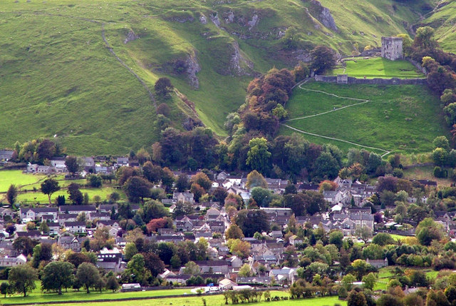
Castleton photographed from Lose Hill. The zigzag path to Peveril Castle can be seen in the top right hand corner, behind the castle are the limestone rocks of Cave Dale.
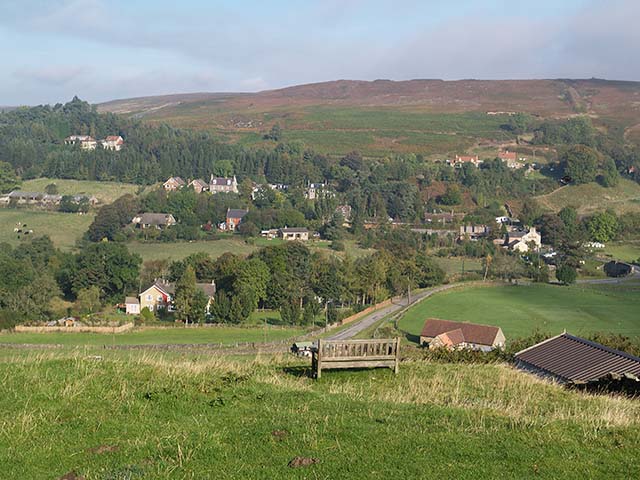
Bench on hillside at Castleton. Beside the footpath between High Street and New Road. The surrounding countryside is rich in wildlife, with species such as kestrels, peregrine falcons, and various songbirds commonly seen. The limestone grasslands support diverse flora, including orchids, while the moorlands above Castleton are home to heather, bilberry, and hardy shrubs.
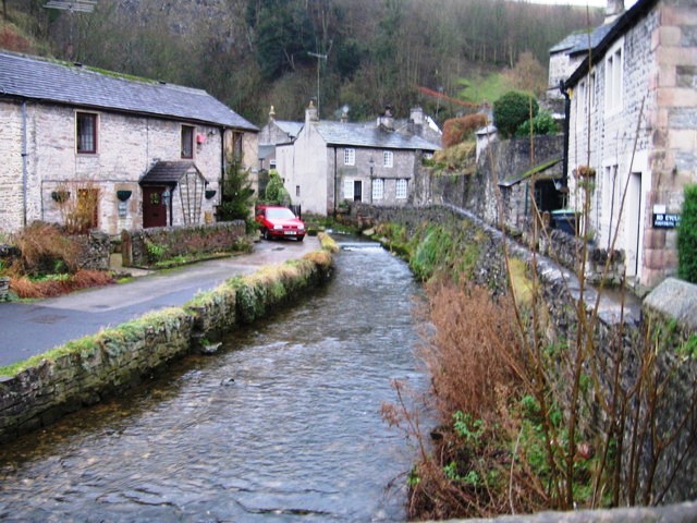
Footpath near Speedwell Cavern. Castleton is also notable for its caves, formed in the limestone of the area. These include the Blue John Cavern, Treak Cliff Cavern, Speedwell Cavern (accessed via an underground boat ride), and Peak Cavern, often called the "Devil's Arse." These caves are home to Blue John stone, a rare semi-precious mineral unique to the area, and are fascinating for their geological formations and historical usage.
