Cefn Ila
![]()
![]() This walk visits the Cefn Ila Woodlands near the town of Usk in Monmouthshire.
This walk visits the Cefn Ila Woodlands near the town of Usk in Monmouthshire.
The woods includes some peaceful trails with lots of wildlife to see. Keep your eyes peeled for birds such as hawfinch and redstart.
There's also an arboretum with specimen trees and evidence of an old Victorian garden which used to occupy the site.
On the eastern side of the woods you can extend your outing on the Usk Valley Walk or visit the historic Usk Castle on the other side of the river.
Postcode
NP15 1PR - Please note: Postcode may be approximate for some rural locationsCefn Ila Ordnance Survey Map  - view and print off detailed OS map
Cefn Ila Open Street Map  - view and print off detailed map
*New* - Walks and Cycle Routes Near Me Map - Waymarked Routes and Mountain Bike Trails>>
Cefn Ila OS Map  - Mobile GPS OS Map with Location tracking
Cefn Ila Open Street Map  - Mobile GPS Map with Location tracking
Cycle Routes and Walking Routes Nearby
Photos
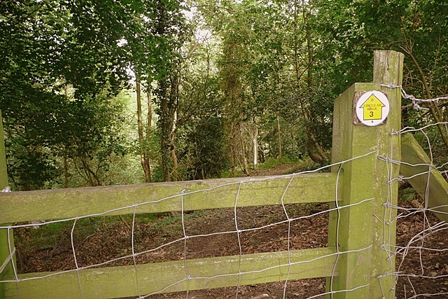
Path into Coed-duon. This is the stile at the southern edge of the wood. As the sign clearly indicates, this is part of a circular walk from Usk going along both sides of Coed-duon and cutting through the woodland at this point. The paths are easy although under used.


