Chantry Wood and Chantries Hill Circular Walk with OS Map
![]()
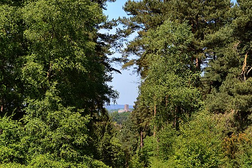
![]() Explore 200 acres of woodland and meadows on this circular walk to Chantry Wood and Chantries Hill in Guildford. There's miles of woodland trails to follow with the North Downs Way passing along the northern edge of the forest (you can see some of this section on the google street view link below). There's a fair amount of climbing on the trails with nice views over the surrounding area from the high points. Look out for carpets of pretty bluebells in the springtime and a variety of birdlife all year round.
Explore 200 acres of woodland and meadows on this circular walk to Chantry Wood and Chantries Hill in Guildford. There's miles of woodland trails to follow with the North Downs Way passing along the northern edge of the forest (you can see some of this section on the google street view link below). There's a fair amount of climbing on the trails with nice views over the surrounding area from the high points. Look out for carpets of pretty bluebells in the springtime and a variety of birdlife all year round.
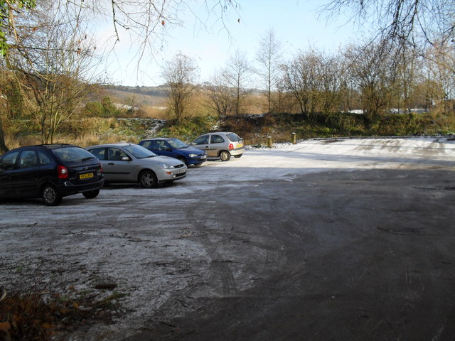
This walk starts at the car park at the eastern end of the woods and follows the North Downs Way across the northern edge before picking up other trails to return you to the start point.
Just to the east you will find St Martha's Hill. You can climb to the 574 feet (175 m) summit and enjoy wonderful views of the surrounding area.
Also nearby is Newlands Corner where there are woodland trails and open chalk downland with wonderful views over the Surrey Hills.
Pewley Down is also just to the north. At the eastern end of the woods a bridleway will take you up to the viewpoint.
Postcode
GU4 8AF - Please note: Postcode may be approximate for some rural locationsChantry Wood Ordnance Survey Map  - view and print off detailed OS map
Chantry Wood Open Street Map  - view and print off detailed map
*New* - Walks and Cycle Routes Near Me Map - Waymarked Routes and Mountain Bike Trails>>
Chantry Wood OS Map  - Mobile GPS OS Map with Location tracking
Chantry Wood Open Street Map  - Mobile GPS Map with Location tracking
Explore the Area with Google Street View 
Pubs/Cafes
Head west of the woods to Shalford and visit the Seahorse pub for some post walk refreshments. There's a fine menu and an attractive outdoor space that’s ideal for a spot of al fresco dining when the sun makes a welcomed appearance. You can easily find it in the village at postcode GU4 8BU.
Dog Walking
The woods are a great place for dog walking and you likely see other owners on your walk. The Seahorse pub mentioned above is also dog friendly.
Further Information and Other Local Ideas
We recommend heading a short distance west of the woods to visit the historic Shalford Mill. The National Trust owned watermill dates from the 18th century and is well worth a visit if you have time after exploring the woods. You can enjoy a fascinating guided tour of the mill and find out all about the its place in the history of Shalford. There's even the opportunity to buy a bag of Shalford Mill flour afterwards.
About a mile south east of the woods you can pick up the Chilworth Gunpowder Mills Walk. This historical trail takes you along the River Tillingbourne to the ruins of several old Gunpowder Mills. The mills were originally established in 1625 by the East India Company and became an important supplier of gunpowder to the Government during the 17th, 18th and 19th centuries. It's an impressive sight with a number of buildings to explore and informations boards detailing the history of the area. You can access the trail on Blacksmith Lane at a postcode of GU4 8NQ.
For more walking ideas in the area see the North Downs Walks page.
Cycle Routes and Walking Routes Nearby
Photos
Chantries Hill Slopes. Looking eastwards over the bushy and grassy hillside towards St Martha's Hill (with church tower on skyline).


