Chirk to Llangollen Canal Walk
![]()
![]() An easy waterside walk along a nice section of the Llangollen Canal from Chirk to Llangollen. The route runs for a distance of just over 9 miles, passing the iconic Pontcysyllte Aqueduct along the way.
An easy waterside walk along a nice section of the Llangollen Canal from Chirk to Llangollen. The route runs for a distance of just over 9 miles, passing the iconic Pontcysyllte Aqueduct along the way.
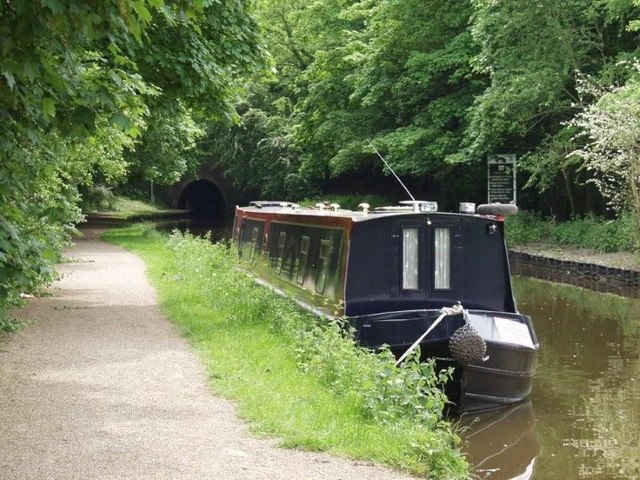
The walk starts on the canal next to Chirk railway station. You follow the towpath north to the pretty Chirk Marina where you can see lots of boats moored.
The route continues north to the Pontcysyllte Aqueduct which you cross over the River Dee. The early 19th century structure is the longest and highest aqueduct in Britain. There's a handy information point nearby where you can learn all about the history of the aqueduct.
The canal then turns west to head through the beautiful Vale of Llangollen, passing Trevor before coming into the finish point in the town.
To extend your walking in the area you could visit the 13th century Chirk Castle which is located just to the west of Chirk at the start of the route. The castle has award-winning gardens and a 460 acre estate to explore so is well worth the small detour from the canal. You could also try the Panorama Walk which will take you up to the lovely World's End. The attractive gorge is a great place for a walk with pretty streams, little waterfalls and attractive woodland.
Chirk to Llangollen Canal Walk Ordnance Survey Map  - view and print off detailed OS map
Chirk to Llangollen Canal Walk Open Street Map  - view and print off detailed map
Chirk to Llangollen Canal Walk OS Map  - Mobile GPS OS Map with Location tracking
Chirk to Llangollen Canal Walk Open Street Map  - Mobile GPS Map with Location tracking
Further Information and Other Local Ideas
Just to the south you can visit the Chirk Aqueduct and the adjacent viaduct. You can access the site by heading through the Chirk Tunnel just to the west of the train station. There are some glorious views over the River Ceiriog Valley from the top of the elevated structure. Crossing the aqueduct will take you across the border into England.
To the west of Chirk you can visit the villages of Glyn Ceiriog and Llanarmon Dyffryn Ceiriog where you can explore the beautiful Upper Ceiriog Valley. The splendid Berwyn Mountains can also be explored on the North Berwyn Way in this area.
Cycle Routes and Walking Routes Nearby
Photos
Chirk Marina. On the Llangollen Canal, this is easy to find if travelling by water but a little more challenging by road. The local landowners are the Myddelton family of Chirk Castle which they purchased in the C16th. The marina is home to two boat hire fleets and adjoins the golf course. The railway runs parallel to the canal.
Llangollen Canal at Trevor. The concrete trough may make a good canal but life is made more complex for the local livestock. The neat little landing stages for ducks etc are built on the non towpath side BUT the bread feeding is all done from the towpath. You walk along and they see potential feeding and disasters like this are fairly common.
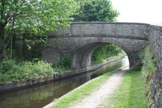
Canal Bridge 41. On the Llangollen branch of the Shropshire Union Canal is this fine stone bridge, one of many, but what is the bricked up smaller arch for? Apparently there was a Wharf here at Sun Bank, and the tramway, usually pulled by donkey, terminated hereabouts. Probably carrying stone or maybe slate from the hillside above.


