Circular Walk around Coniston
![]()
![]() A 16 mile circuit around the beautiful Coniston Lake in the Lake Disctrict National Park. The walk makes use of the Cumbria Way long distance trail on the western side of the lake before returning to the village through Grizedale Forest on the eastern side.
A 16 mile circuit around the beautiful Coniston Lake in the Lake Disctrict National Park. The walk makes use of the Cumbria Way long distance trail on the western side of the lake before returning to the village through Grizedale Forest on the eastern side.
The walk starts in the village of Coniston, next to the main car park in the village centre. From here you can directly pick up the Cumbria Way to take you to the lakeside. The path runs south through Bowmanstead, Coniston Hall Park and Torver Common Wood.
At Torver Back Common the route climbs away from the lake to Beacon Fell where you will find the lovely Beacon Tarn. It's a delightful spot with the tranquil waters of the tarn and great views to the Coniston Fells, Coniston Water and Morecambe Bay.
From Beacon Fell you descend to Greenholme Farm, following the pretty Greenholme Beck to Water Yeat at the southern end of the water. Here you turn north, passing High Nibthwaite before climbing to Grass Holme, Selside and Parkamoor where there are splendid views down to the lake.
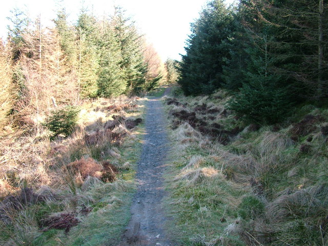
The route then descends from Parkamoor to Grizedale Forest where you follow a series of woodland trails past Brantwood to High Water Head at the northern end of the lake. The final section takes you to Waterhead Pier where there's a lovely lakeside cafe for refreshments. You then follow Lake Road back into the village centre and the car park.
To continue your walking in the area you could try the splendid climb to the Old Man of Coniston for more fabulous views.
Just to the west of the Old Man is Harter Fell where there's good views of the Duddon estuary and Morecambe Bay.
You can also try the Coniston to Langdale Walk, the 2nd leg of the epic long distance Cumbria Way.
Circular Walk around Coniston Ordnance Survey Map  - view and print off detailed OS map
Circular Walk around Coniston Open Street Map  - view and print off detailed map
Circular Walk around Coniston OS Map  - Mobile GPS OS Map with Location tracking
Circular Walk around Coniston Open Street Map  - Mobile GPS Map with Location tracking
Pubs/Cafes
The Bluebird Cafe is located right next to Coniston Water. It does a great range of meals and snacks. There's also a lovely outdoor seating area with fine views across the lake. You can find it in the village at a postcode of LA21 8AN.
Further Information and Other Local Ideas
At nearby Torver you can pick up the Banishead Quarry Walk. This picturesque area includes nice trails along the Torver Beck and old slate quarries with a pretty pool and waterfall.


