Conwy Mountain
![]()
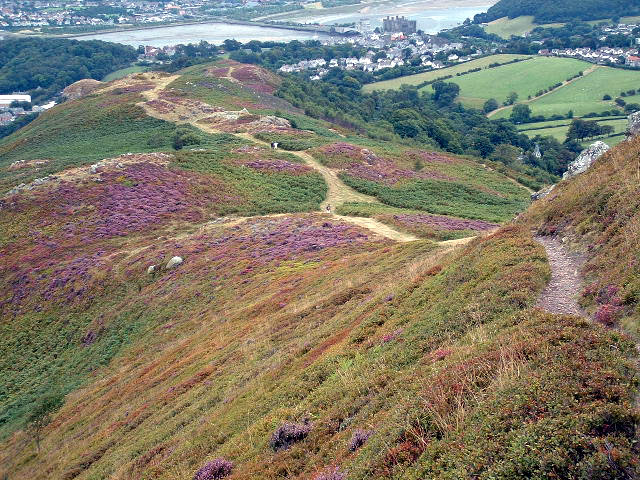
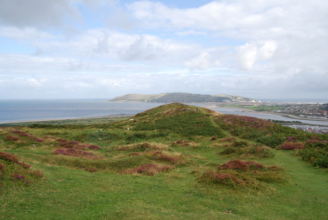
![]() Enjoy fabulous views over Conwy Bay and the Welsh mountains on this climb to Conwy Mountain (Mynydd y Dref).
Enjoy fabulous views over Conwy Bay and the Welsh mountains on this climb to Conwy Mountain (Mynydd y Dref).
You can follow a section of the North Wales Path from the town up into the hills. Starting at Conwy Suspension Bridge head north along the Conwy Estuary to Bodlondeb Woods. Follow the trail round the edge of the woods before turning south towards Cadnant Park. Trails then climb west to the mountain summit which stands at a height of 244 m (801 ft). Here you will find Neolithic Hut Circles and the Iron Age hillfort of Castell Caer Seion. There's also lots of pretty heather and magnificent views over the town to Great Orme and the mountains of the Snowdonia National Park.
There are a number of footpaths you can follow around the hill top. At the western end you will find the Sychnant Pass where the car park offers an alternative start point for exploring the area.
To extend your walking in the area you could try the Llandudno to Conwy coastal walk which takes you along the North Wales Coast Path to Great Orme Country Park and Llandudno.
Conwy Mountain Ordnance Survey Map  - view and print off detailed OS map
Conwy Mountain Open Street Map  - view and print off detailed map
Conwy Mountain OS Map  - Mobile GPS OS Map with Location tracking
Conwy Mountain Open Street Map  - Mobile GPS Map with Location tracking
Further Information and Other Local Ideas
To continue your climbing in the area you could head south to the pretty village of Rowen and enjoy a climb to Tal Y Fan. There are more fine views to the coast from the 610 metres (2,001 ft) summit of the mountain.
The circular Llanfairfechan Walk follows the Wales Coast Path to the town before climbing to the mountain. The route passes close to the splendid Jubilee Path above Penmaenmawr. The elevated path was constructed in 1887 to commemorate the Golden Jubilee of Queen Victoria. It offers fine views to the sea and has a small car park for access. There's also the option of climbing to Foel Lus in this area.
On the opposite side of the river you could visit the interesting town of Deganwy. Here you'll find a south facing beach, a contemporary marina, an attractive quay and the ruins of the historic Deganwy Castle.
Just to the south is the delightful village of Rowen. The village is considered one of the prettiest villages in Wales and a real hidden gem. The climb to Tal Y Fan, in the Carneddau mountains, is often started from here.
For more walking ideas in the area see the Snowdonia Walks page.


