Cotter Force
![]()
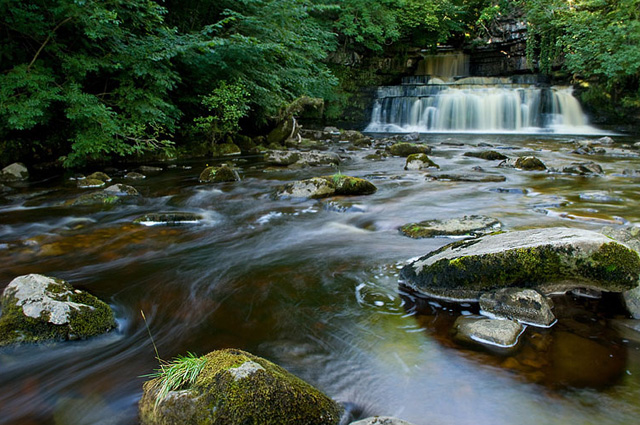
![]() This walk visits the lovely Cotter Force waterfall near Appersett in the Yorkshire Dales.
This walk visits the lovely Cotter Force waterfall near Appersett in the Yorkshire Dales.
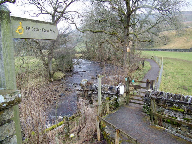
The walk starts at the roadside parking area next to Holme Heads Bridge and follows a good footpath along the Cotterdale Beck to the falls. The falls are very pretty, comprising of six steps, each with its own small waterfall. The area is good for birdwatching too. Look out for dippers, grey wagtails, kingfishers and redstarts as you make your way along the trail.
There are plenty of good options for continuing your walking in this lovely area. You could visit the nearby Hardraw Force waterfall or climb Great Shunner Fell.
The Hawes Circular Walk takes you on a tour of the rivers, becks, waterfalls and hills surrounding the town.
Postcode
DL8 3LP - Please note: Postcode may be approximate for some rural locationsCotter Force Ordnance Survey Map  - view and print off detailed OS map
Cotter Force Open Street Map  - view and print off detailed map
Cotter Force OS Map  - Mobile GPS OS Map with Location tracking
Cotter Force Open Street Map  - Mobile GPS Map with Location tracking
Pubs/Cafes
Just to the west at Garsdale there's the excellent Moorcock Inn. They serve good quality food and have a charming interior with rustic stone walls and exposed beams. They have some outdoor seating as well if the weather is fine. You can find them at postcode LA10 5PU for your sat navs.
You could also head into nearby Hawes and visit the 13th century Green Dragon Inn. The historic pub is the gateway to the Hardraw Falls and is located at Bellow Hill with postcode DL8 3LZ for your sat navs.
Dog Walking
The river trail is a nice one to do with your dog. Both the pubs mentioned above are also dog friendly.
Further Information and Other Local Ideas
The River Ure runs just to the south of the beck. You could pick up another footpath heading west to more waterfalls at Mossdale Gill. See the Appersett Viaduct and the River Ure Walk for more details.
The circular Garsdale Walk starts from the nearby Garsdale train station on the Settle and Carlisle Line. It's a beautiful area with trails along the Grisedale Beck and more pretty waterfalls to see. Near here there's also the noteworthy Uldale Force. This impressive waterfall is located in a striking limestone gorge on the River Rawthey. There's also a series of smaller waterfalls so the area is well worth a visit especially after rainfall.
For more walking ideas in the area see the Yorkshire Dales Walks page.


