Garsdale Walk
![]()
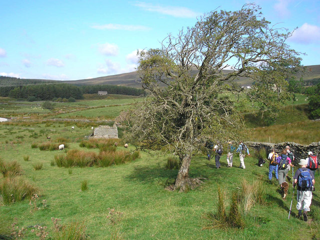
![]() This circular walk explores the beautiful Garsdale in the Yorkshire Dales. The picturesque vale is a lovely place for a walk with becks, waterfalls and wonderful countryside views.
This circular walk explores the beautiful Garsdale in the Yorkshire Dales. The picturesque vale is a lovely place for a walk with becks, waterfalls and wonderful countryside views.
The walk starts from Garsdale railway station on the Settle and Carlisle Line, which runs between Carlisle and Leeds via Settle. From here you can pick up footpaths heading north west to Clough Force Waterfall. The route continues north to Blake Mire before picking up paths along the pretty Grisedale Beck to Galey Hill and the Round Ing Gill. You then head south east across Grisedale Common to South Lunds before turning south west to return to Garsdale Head and the train station.
Garsdale Ordnance Survey Map  - view and print off detailed OS map
Garsdale Open Street Map  - view and print off detailed map
Garsdale OS Map  - Mobile GPS OS Map with Location tracking
Garsdale Open Street Map  - Mobile GPS Map with Location tracking
Pubs/Cafes
Close to the train station at the start of the walk there's the Moorcock Inn for some post exercise rest and refreshment. They serve good quality food and have a charming interior with rustic stone walls and exposed beams. They have some outdoor seating as well if the weather is fine. You can find them at postcode LA10 5PU for your sat navs.
You could also head into nearby Hawes and visit the 13th century Green Dragon Inn. The historic pub is the gateway to the Hardraw Falls and is located at Bellow Hill with postcode DL8 3LZ for your sat navs.
Further Information and Other Local Ideas
If you continue north west from Galey Head you will soon come to Uldale Force. This impressive waterfall is located in a striking limestone gorge on the River Rawthey. There's also a series of smaller waterfalls so the area is well worth a visit especially after rainfall.


