Cowm Reservoir
![]()
![]() This short circular walk visits Cowm Reservoir in the Whitworth area of Rossendale. The reservoir was created with nearby Spring Mill Reservoir to augment Rochdale's water supplies during the 19th century. Today it makes for a scenic walk with fine views across the water to the surrounding moorland scenery.
This short circular walk visits Cowm Reservoir in the Whitworth area of Rossendale. The reservoir was created with nearby Spring Mill Reservoir to augment Rochdale's water supplies during the 19th century. Today it makes for a scenic walk with fine views across the water to the surrounding moorland scenery.
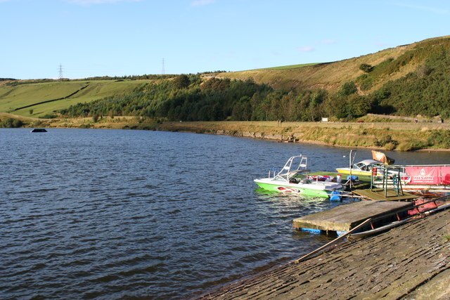
The walk starts from the car park at the southern end of the water. From here you can pick up a circular trail heading around the reservoir where you can look out for sailboats from the The Water Ski Academy.
Postcode
OL12 8BE - Please note: Postcode may be approximate for some rural locationsCowm Reservoir Ordnance Survey Map  - view and print off detailed OS map
Cowm Reservoir Open Street Map  - view and print off detailed map
Cowm Reservoir OS Map  - Mobile GPS OS Map with Location tracking
Cowm Reservoir Open Street Map  - Mobile GPS Map with Location tracking
Dog Walking
The site is a nice place to bring your dog for a walk so you'll probably meet other owners on a fine day.
Further Information and Other Local Ideas
Head to the east and there's another good circular walk around Watergrove Reservoir.
Head a few miles south west and you could pick up the epic Pennine Bridleway and follow it to Greenbooth Reservoir.
For more walking ideas in the area see the Greater Manchester Walks page.
Cycle Routes and Walking Routes Nearby
Photos
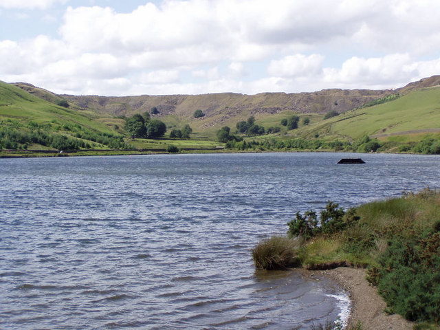
Cowm reservoir is currently used as a water sports centre. The dark object protruding from the water is a waterski jump. Britannia Quarry is in the background.
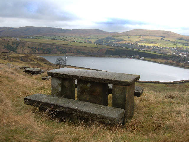
The south-western corner of the reservoir (nearest camera) falls in this grid square. View of the western shores looking north to the head of the valley. Some tree planting has been on the site of a disused quarry to the left of the picture.


