Craigmin Bridge Walk
![]()
![]() This walk visits the photogenic Craigmin Bridge in Moray, Scotland.
This walk visits the photogenic Craigmin Bridge in Moray, Scotland.
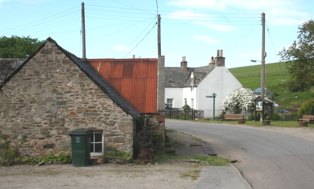
Start the walk in the little village of Drybridge where there is some roadside parking. From here you can pick up a woodland trail heading south to the old bridge. The unusual bridge sits in the grounds of the historic Letterfourie House and includes a striking two tier design. It was built in 1773 to carry a carriage to Letterfourie House over the steep ravine of the Burn of Letterfourie.
Today the structure is a little overgrown so some care must be taken on the paths and the bridge itself. It is still something of a hidden gem being designated as a Category A listed building due to its historical significance.
To continue your walking in the area head north to Buckie where you can pick up the Buckie to Findochty and Cullen Coastal Walk along the Moray Coast Trail. The popular long distance trail is a great way to visit some of the local coastal highlights on foot.


