Moray Coast Trail
![]()
![]() Explore the beautiful Moray Coast on this delightful trail. The route runs from Forres to Cullen and includes beaches, coastal paths, quiet roads and old railways.
Explore the beautiful Moray Coast on this delightful trail. The route runs from Forres to Cullen and includes beaches, coastal paths, quiet roads and old railways.
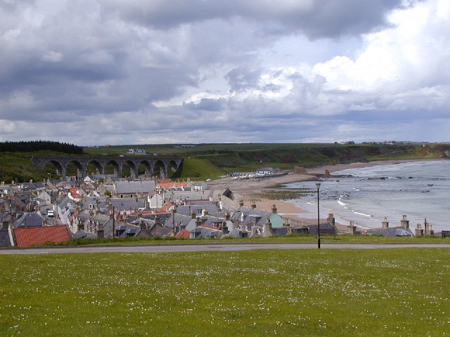
There are splendid views of the Moray Firth and the North Sea.
The walk is waymarked with a white bird on a black disc.
At Spey Bay the route links up with the Speyside Way. The shared cycling and walking trail will take you south along the river to Aviemore.
We've split the walk into manageable day sections - click on the links below to see more information, photos, videos and a map for each section:
Moray Coast Trail Sections
- Forres To Findhorn
- Findhorn to Burghead
- Hopeman to Burghead Walk
- Hopeman to Lossiemouth
- Lossiemouth to Spey Bay
- Buckie to Findochty and Cullen Coastal Walk
Please click here for more information
Moray Coast Trail Ordnance Survey Map  - view and print off detailed OS map
Moray Coast Trail Open Street Map  - view and print off detailed map
Moray Coast Trail OS Map  - Mobile GPS OS Map with Location tracking
Moray Coast Trail Open Street Map  - Mobile GPS Map with Location tracking
Further Information and Other Local Ideas
You can extend the walk at the eastern end by picking up the Cullen to Findlater Castle Walk which will take you east along the coast path to the ancient Findlater Castle. The photogenic castle dates back to the 14th century and is positioned in a dramatic coastal location.
The Dava Way also starts in Forres. This shared cycling and walking trail runs along a disused railway line from Forres to Granton-on-Spey, Highland. If you follow it south it will take you towards the Darnaway Forest and the Logie Steading Findhorn River Walk. The estate includes some fine riverside walks, a garden centre, a cafe and some splendid waterfalls at the photogenic Randolph's Leap.
Cycle Routes and Walking Routes Nearby
Photos
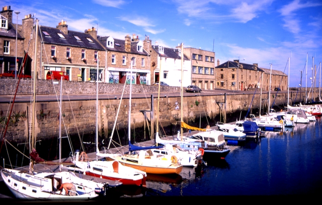
Lossiemouth Marina. Since the demise of the fishing industry, the harbour at Lossiemouth has been rebranded as a marina.
Shark infested seas off the Covesea Golf course. This basking shark was in the region of sixteen feet long. It's not their first visit here but it is the first time I've witnessed one. Oddly enough I saw a Puffin on the sea shortly afterwards; the first I've ever seen one here in fifteen years.


