Crinkle Crags Circular Walk
![]()
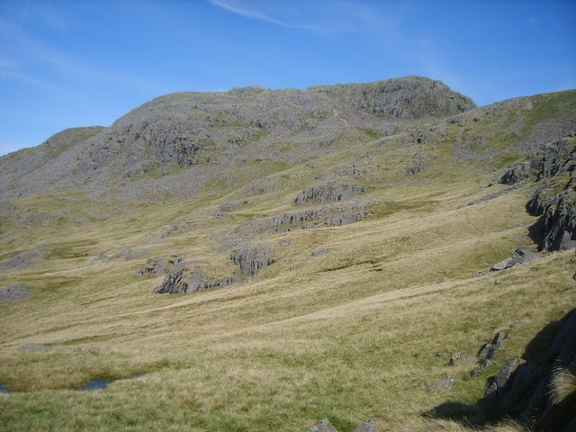
![]() Crinkle Crags stands at a height of 859 m (2,818 ft) surrounding the valleys of Great Langdale and Upper Eskdale.
Crinkle Crags stands at a height of 859 m (2,818 ft) surrounding the valleys of Great Langdale and Upper Eskdale.
Alfred Wainwright described it thus: 'Much too good to be missed ... this is a climb deserving of high priority'.
The fell gets its name from the distinctive series of five rises and depressions (crinkles) at the summit ridge.
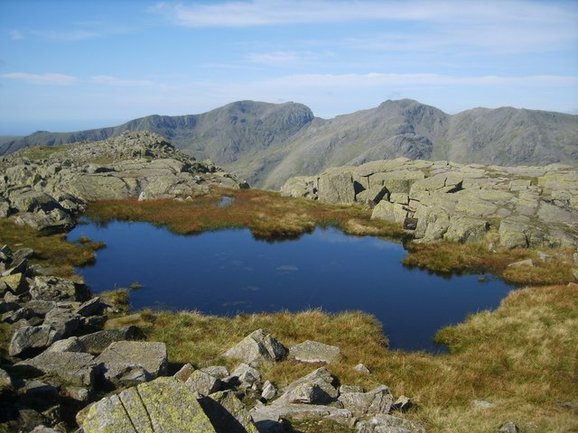
The circular walk starts at the car park near the Old Dungeon Ghyll Hotel in Great Langdale and heads to Stool End Farm on country lanes. You ascend towards Bowfell passing The Band, White Stones and Earing Crag. You then turn south passing the Three Tarns before you reach Crinkle Crags summit at 859 m (2,818 ft). There are fabulous views of Great Langdale, Eskdale, Dunnerdale, and the estuaries of the rivers Duddon and Esk as they enter the Irish Sea. There is also a very good view of Scafell Pike, which is the parent peak of Crinkle Crags.
You then descend towards Great Knott and Oxendale with views of Oxendale Beck. Shortly after you rejoin the path to the car park and the finish point.
To continue your walking in the area you could enjoy a climb along the lovely Dungeon Ghyll waterfall to Stickle Tarn.
Also nearby are the popular Langdale Pikes.
Crinkle Crags Ordnance Survey Map  - view and print off detailed OS map
Crinkle Crags Open Street Map  - view and print off detailed map
*New* - Walks and Cycle Routes Near Me Map - Waymarked Routes and Mountain Bike Trails>>
Crinkle Crags OS Map  - Mobile GPS OS Map with Location tracking
Crinkle Crags Open Street Map  - Mobile GPS Map with Location tracking
Pubs/Cafes
The National Trust's Sticklebarn is a great place for refreshments after your walk. The pub has a great menu and a nice outdoor seating area with lovely views for finer days. There's a roaring fire in the cosy interior for the winter months.
Further Information and Other Local Ideas
For more walking ideas in the area see the Lake District Walks page.
Cycle Routes and Walking Routes Nearby
Photos
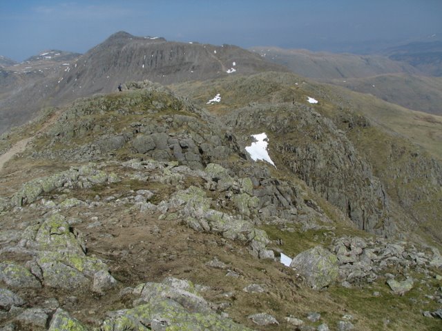
Crinkle Crags. Above Great Cove looking over to the top of the crags. Bowfell pops up above the gulley of Mickle Door.
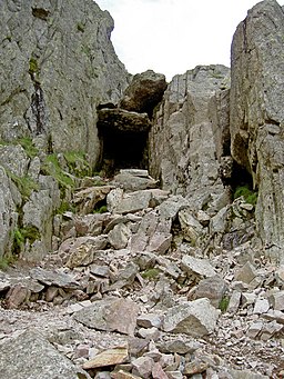
The Bad Step. The easy route up is on the right about six or nine feet before the overhang. At the right of the lighter rock there are good and obvious hand and foot holds.


