Bowfell Walk
![]()
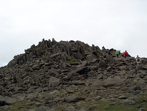
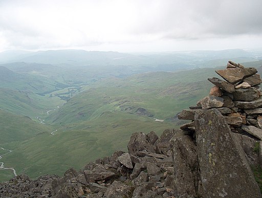
![]() Climb one of the most popular fells in the Lake District on this challenging walk. Bowfell is is in Alfred Wainwright's 'best half dozen' Lake District fells. The views from the summit are magnificent with every main fell group in the Lake District visible including the Helvellyn range, the Langdale Pikes across Langdale and Scafell Pike towering above Eskdale.
Climb one of the most popular fells in the Lake District on this challenging walk. Bowfell is is in Alfred Wainwright's 'best half dozen' Lake District fells. The views from the summit are magnificent with every main fell group in the Lake District visible including the Helvellyn range, the Langdale Pikes across Langdale and Scafell Pike towering above Eskdale.
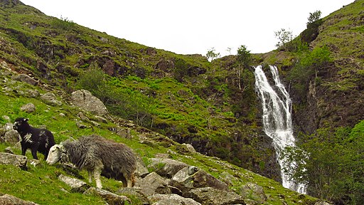
The route starts from the car park at Middle Fell Farm, just west of Dungeon Ghyll. From here you head west along the Oxendale Beck, passing Whorneyside Force Waterfall on the way. You continue west to Buscoe and the Three Tarns before coming to the summit.
If you'd like to continue your climbing you could head to the Langdale Pikes - the start point for this route is close by.
Bowfell Ordnance Survey Map  - view and print off detailed OS map
Bowfell Open Street Map  - view and print off detailed map
Bowfell OS Map  - Mobile GPS OS Map with Location tracking
Bowfell Open Street Map  - Mobile GPS Map with Location tracking
Pubs/Cafes
Just east of the car park there's the Sticklebarn for some well earned post walk refreshment. The pub has a great menu and a nice outdoor seating area with lovely views for finer days. There's a roaring fire in the cosy interior for the winter months. It's run by the National Trust and can be found at postcode LA22 9JU for your sat navs.
Further Information and Other Local Ideas
The climb up the Dungeon Ghyll waterfall is another highlight of the area. You can climb along the rushing falls to reach the tranquil Stickle Tarn at the top.
For more walking ideas in the area see the Lake District Walks page.
